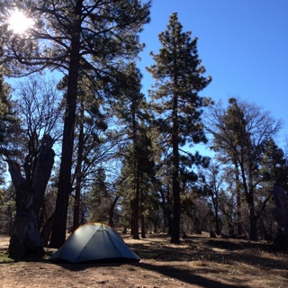
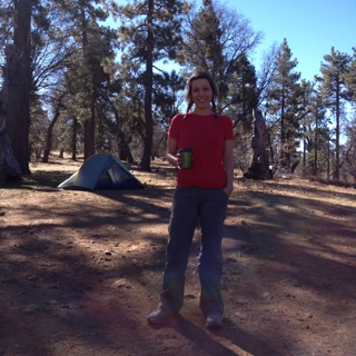
Our Tent
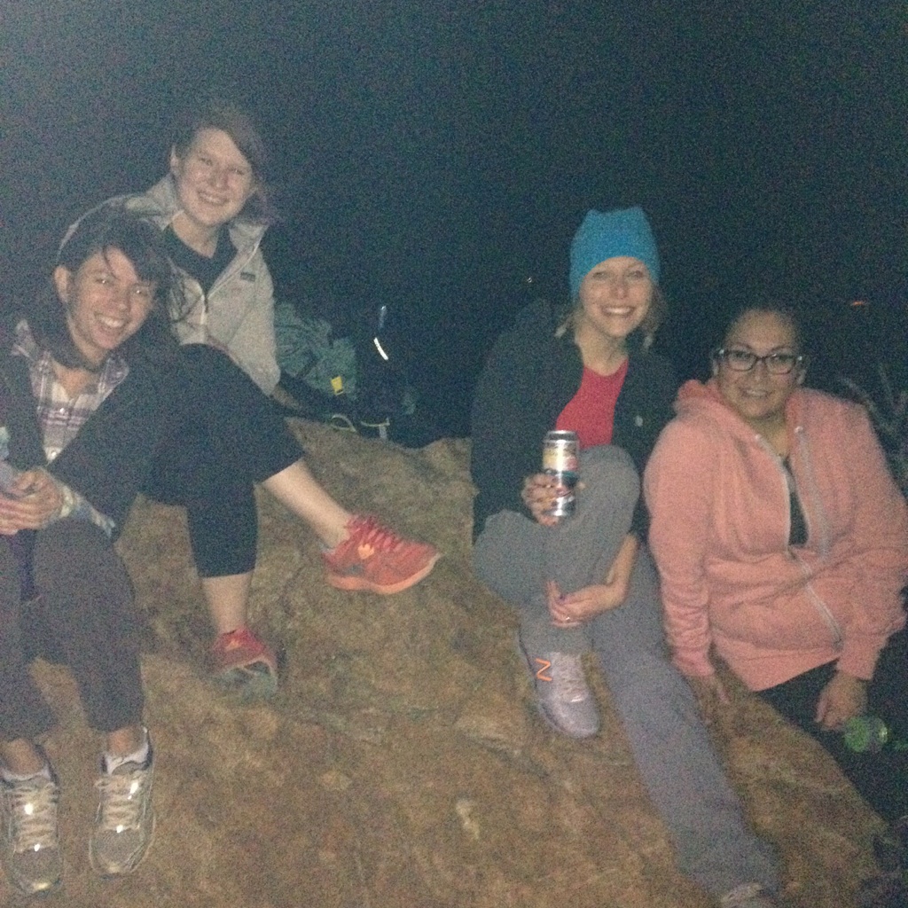
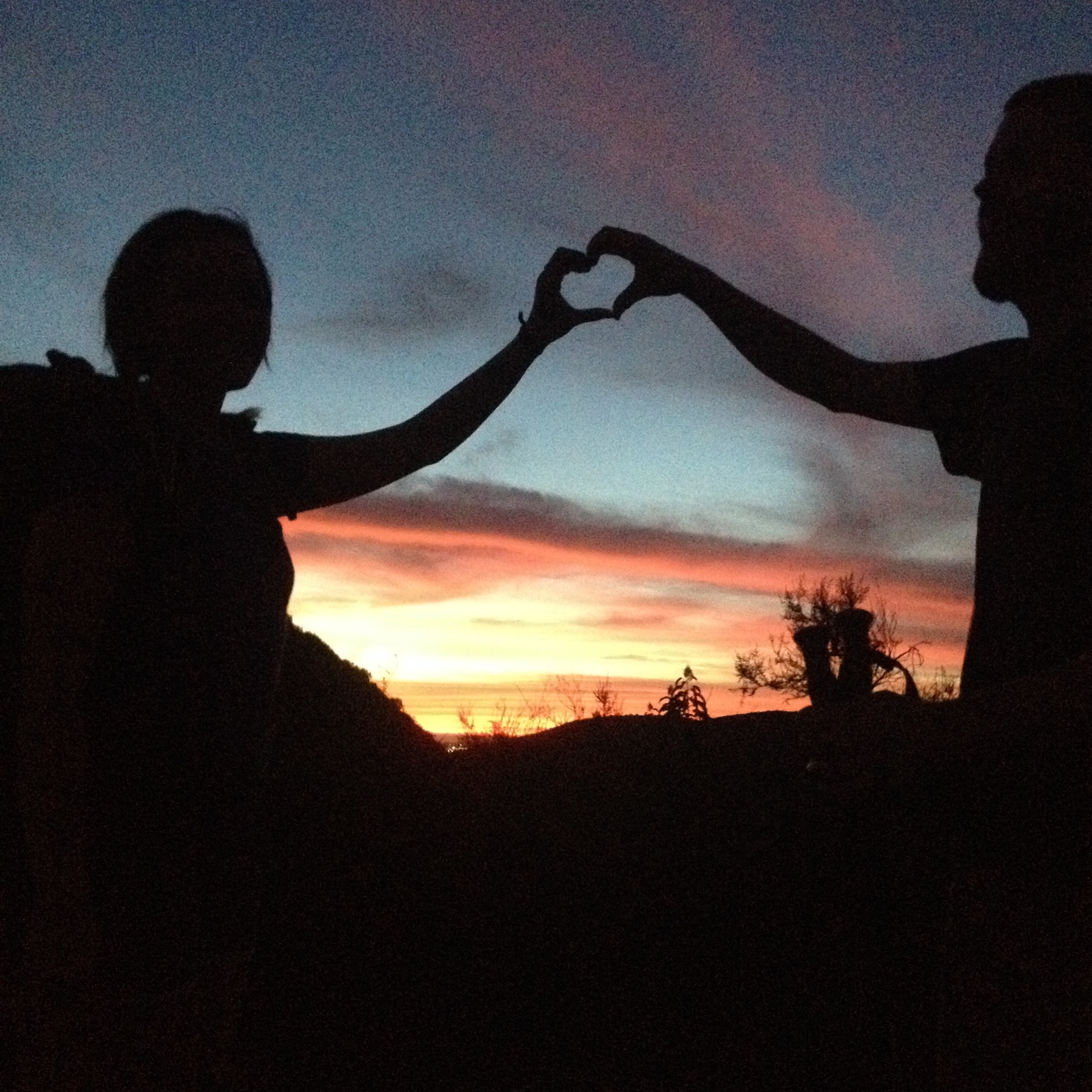
Chas and I went camping in Mount Laguna last week. We camped the same night that we met our friends for a full moon hike. We love the Laguna Campground, so it was the perfect place to camp and celebrate Valentines Day. We finally got to test a lot of our gear too!
What kind of gear did we test?
Tarptent Double Rainbow
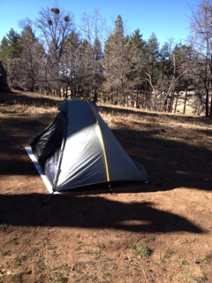
Our tent
(Features from Tarptent.com)
- Free-standing (with trekking poles) or staked
- Hybrid bathtub floor — clip / unclip floor walls for splash, space, views, and airflow
- Dual netting doors for views, airflow, and insect resistance; bug proof when zipped up Dual beaks shield rain, provides gear storage
- Fast setup — 2 minutes from sack to pitched
- Small packed size — removable strut for stuffing
- Taut pitch resists wind, sag, and storms; integrated line tighteners
- Reflective spectra cord guylines included
Therm-a-rest Z Lite Sol Sleeping Pad
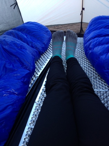
Sleeping bags, Z Lite pads, and my sleeping pants
Chas has been using his for awhile, but it was my first time. It in no way compares to our super comfy bed, but it offers a little more cushioning than sleeping on the ground does. Why the Z Lite? It’s ultralight and easy to pack. Some hikers cut 1/4 of it off to save weight (and just use an empty pack for padding under their feet.)
- Fold up easily like an accordion.
- Has heat trapping “dimples”
- ThermaCapture™ coating that reflects radiant heat (this is supposed to increase warmth by 20%)
- Foams are softer on top for extra comfort and denser on the bottom for extra durability.
- Ultralight
- Weighs 10 oz.
- Made in USA
Western Mountaineering UltraLite 20 Degree Down Sleeping Bag
We’ve already used these bags a few times. We bought these for each other as Christmas presents. I love this bag! We used our clothing “stuff sacks” as pillows.
- Weighs 1 lb 13 oz
- 16 oz down fill
- Rated for temperatures down to 20 degrees
- Full down collar to help trap heat around your neck
Sleepwear
For sleeping we each have a set of long underwear, or a base layer. This consists of a top and bottoms. We chose to use Patagonia Capalene 3. They were really comfy, and paired with my sleeping bag I stayed nice and warm! This base layer with be used just for sleeping so they don’t get dirty and smelly. Some details from the website:
- Stretchy double-knit fabric wicks extremely well
- Smooth face slides easily beneath layers
- Fabric brushed for warmth, softness and compressibility
- Self-fabric crewneck for next-to-skin comfort
- Thumb loops for secure hand coverage
Jetboil Sol Ti
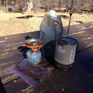
Jetboil, coffee, and a h2o bottle
We were originally going to go with an alcohol stove that uses denatured alcohol and weighs almost nothing. But because of how dry it is this year, and the risk of wildfires, many National Forests are considering putting a ban on them because they don’t have an off switch. So we decided to use the Jetboil. We also got a french press attachment piece for morning coffee ( I know, sounds silly but we’re trying to cut weight in so many places that I feel we earned this and we really really love coffee.)
- Holds .8 L
- Includes burner, cook pot, pot support, canister tripod
- Lightest Jetboil cooking system
- Very fast heating rate (a little over 2 min)
- Excellent fuel efficiency
- Excellent cold resistance
We woke up on Valentine’s Day in our tent, a little sore from all the hiking during the week, but nice and warm. Chas made us coffee with the new french press accessory and it didn’t really work. The coffee grounds came up the sides of the filter, but whatever. We just let the ground sink to the bottom and enjoyed some cowboy coffee.
Chelsea and her coffee
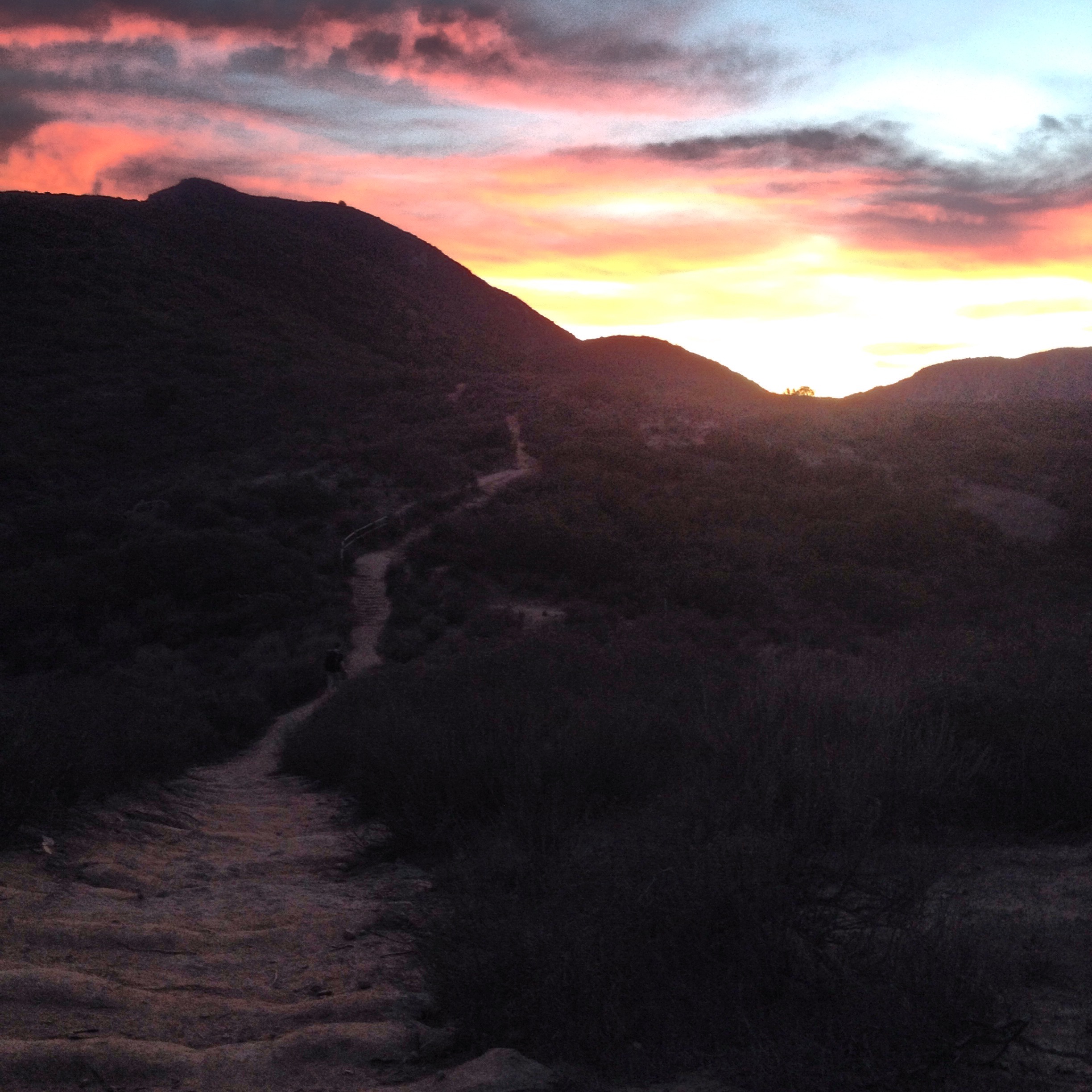
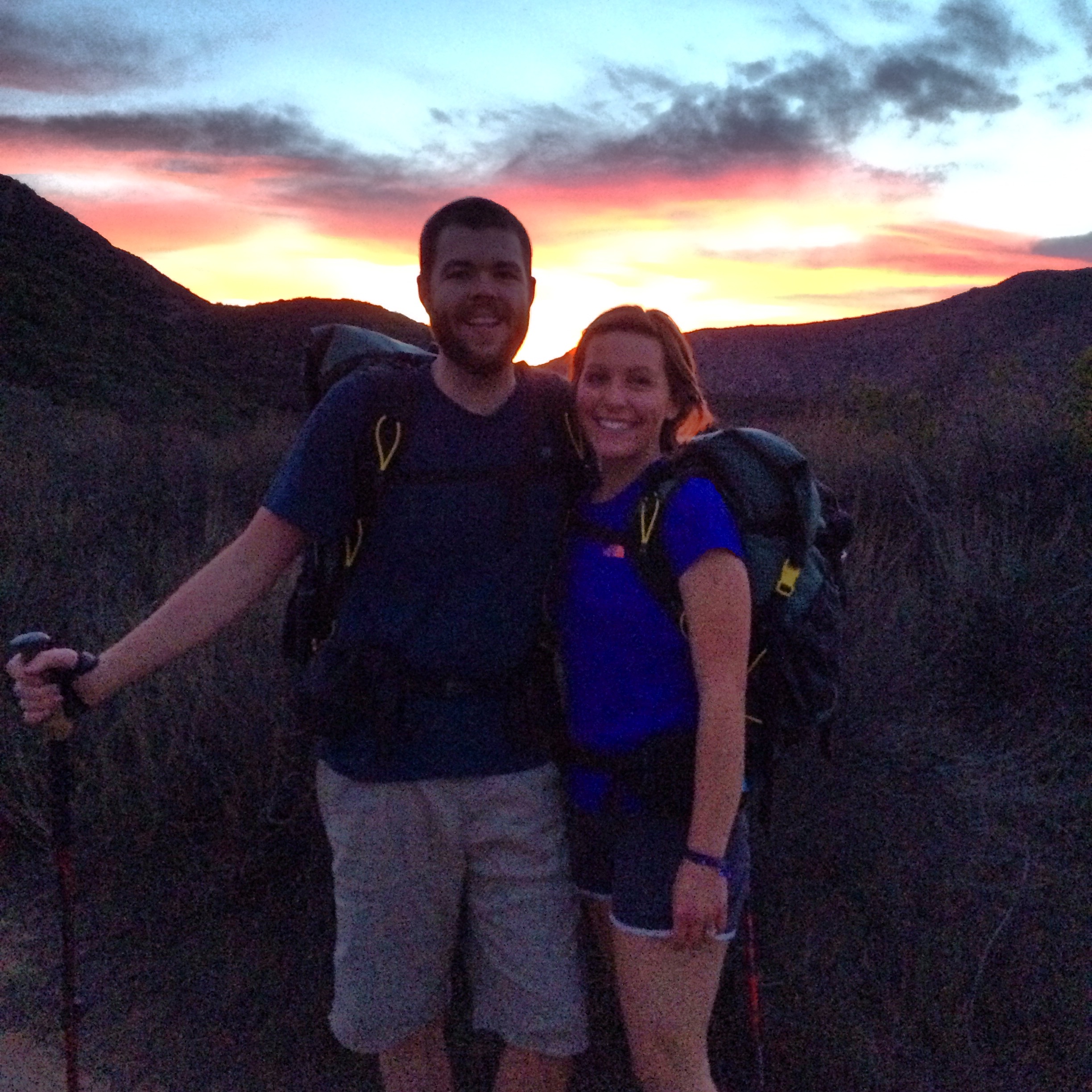
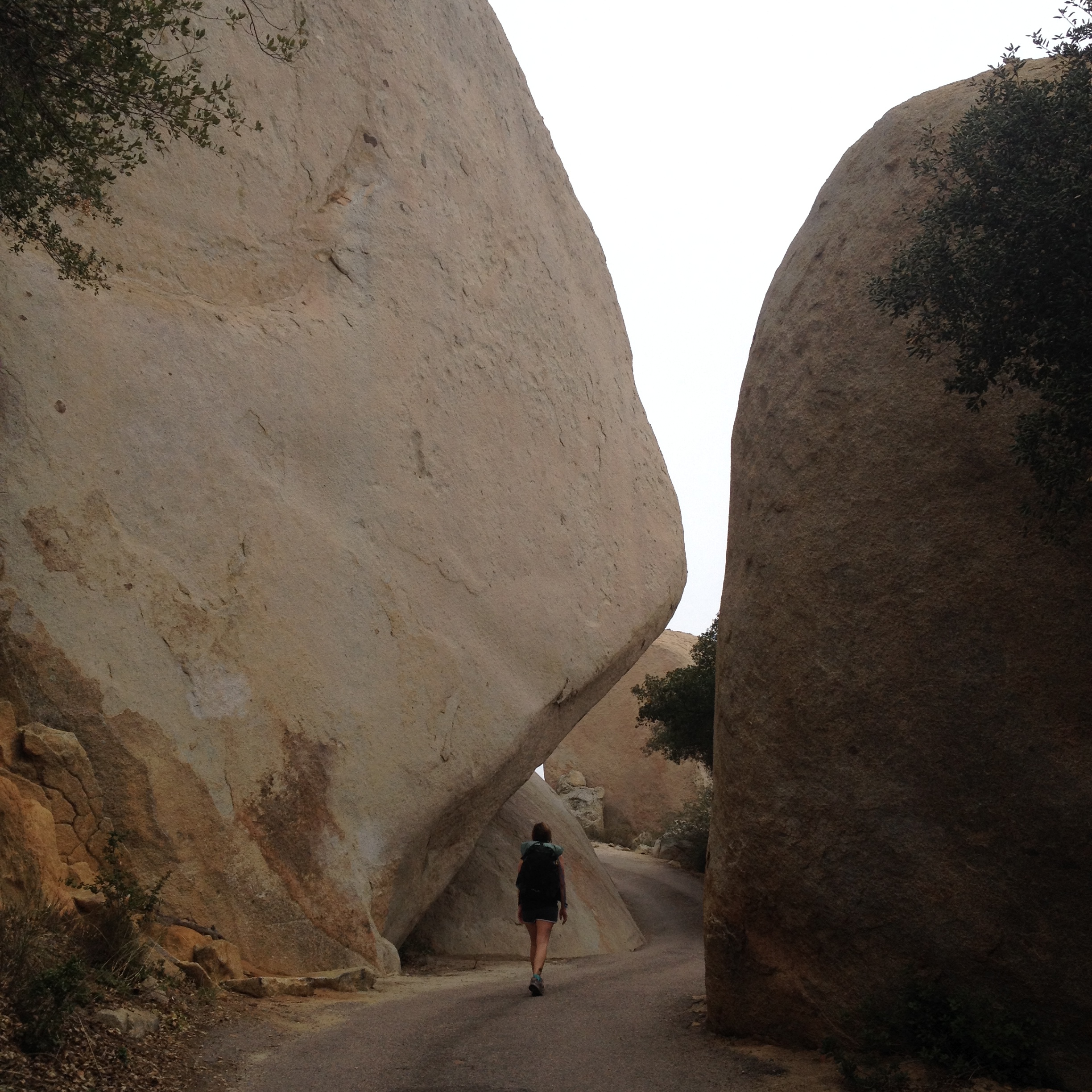
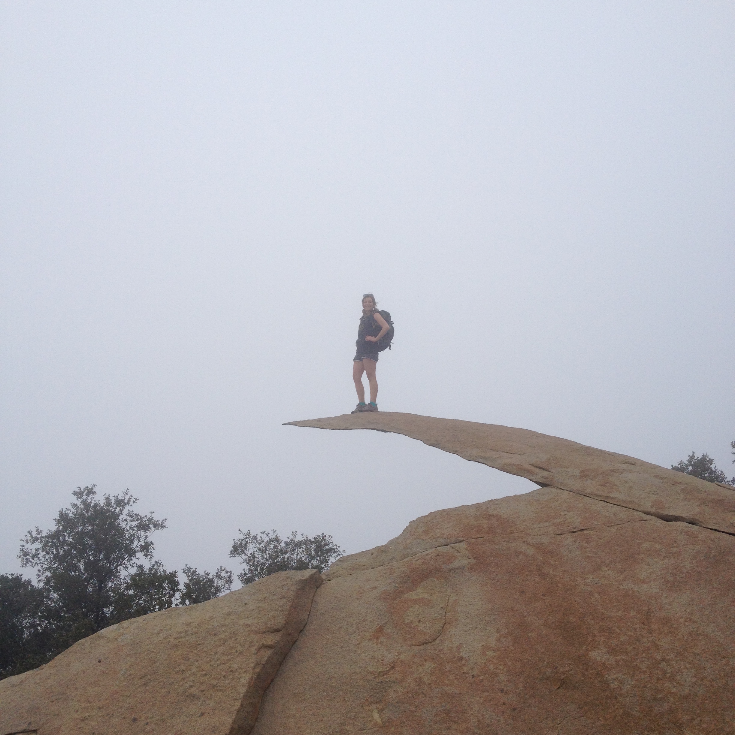
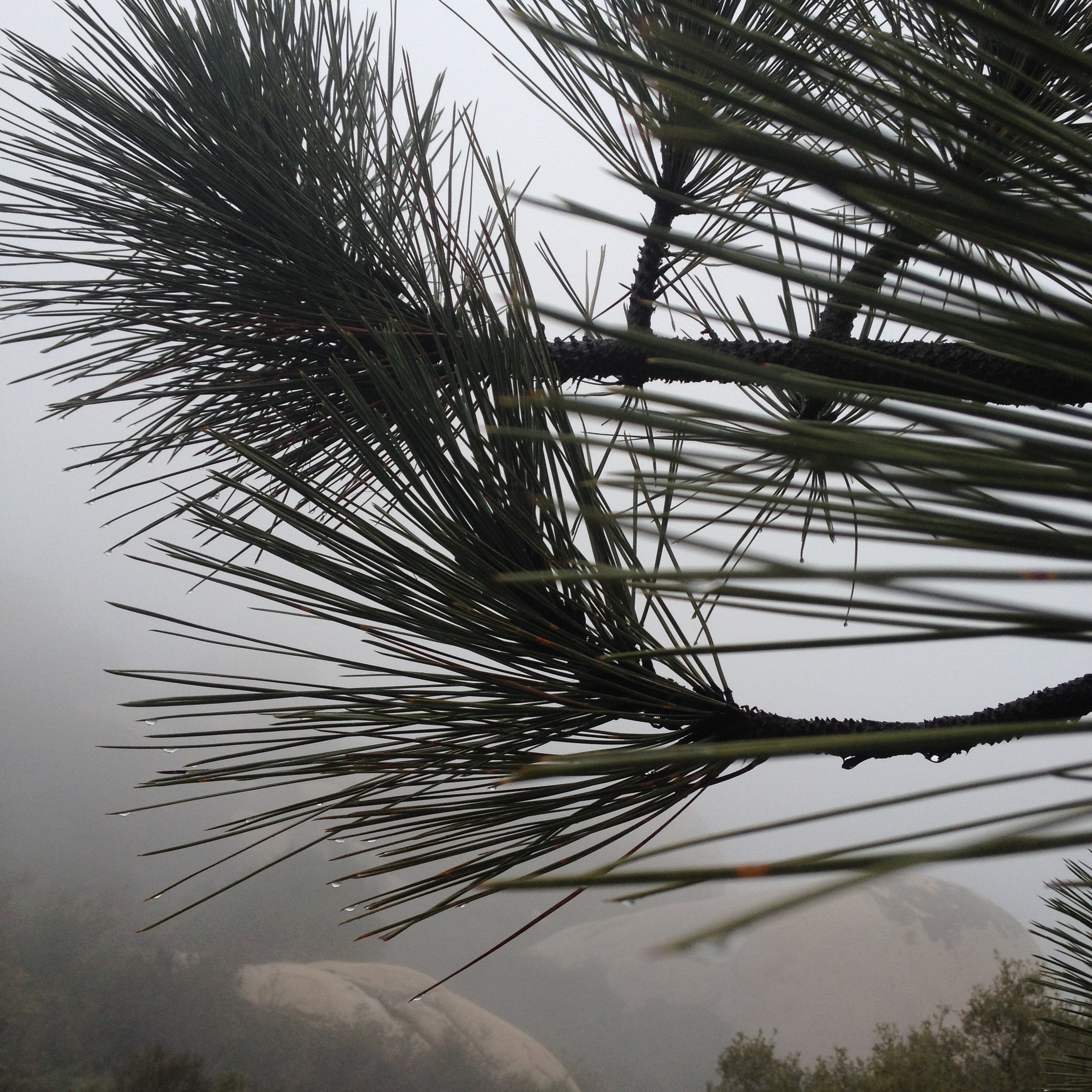
We packed up our tent and gear, and loaded up our backpacks. It didn’t take long to breakdown camp. I’m excited to see how fast we can do it once we get more practice. We went on a little hike along the PCT from Pioneer Mail Picnic Area to the big boulder field around mile 56. On the map it’s listed as a small campsite in boulder field. We ate a bar and relaxed for a bit before turning around and hiking back. It was a really hot day, and I wish I had brought my sunhat. We tried out our new long sleeve button-up shirts. They’re supposed to keep you cool and protect you from the sun. It will take some getting used to. I felt like I should be leading a Girl Scout troop, but Chas said I looked cute.

Pioneer Mail Picnic Area
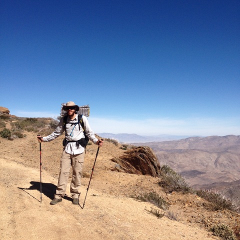
Chas with the desert behind him
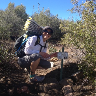
Chelsea at mile marker 55
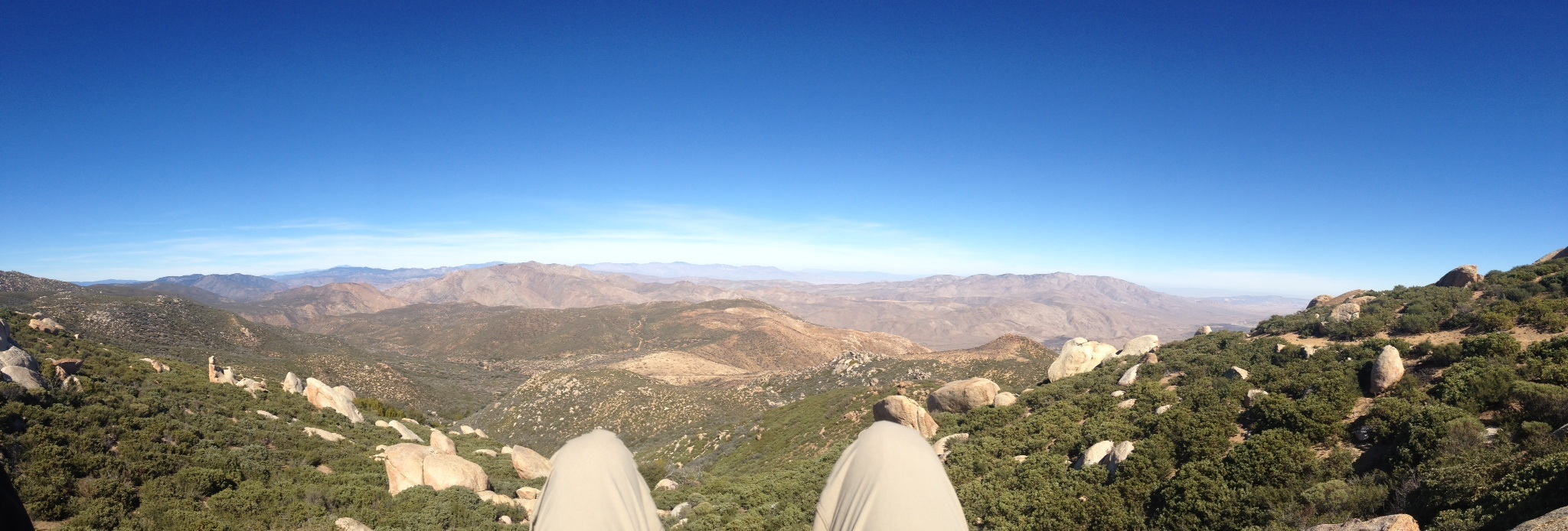
Enjoying a snack at the boulders
After our hike we stopped by the Mount Laguna Lodge and got some ice cream. We also went to the Mount Laguna Sport and Supply in hunt for a sun umbrella. A thru-hiker we met up in Tuolumne Meadows last year spoke highly of his sun umbrella he picked up in Mount Laguna for the desert sections. The owner Dave (Super) had one! He was very friendly and helpful. He informed us of some hikes he leads up in the mountains, and also told us he could do a gear shakedown and help us rid ourselves of unnecessary weight.
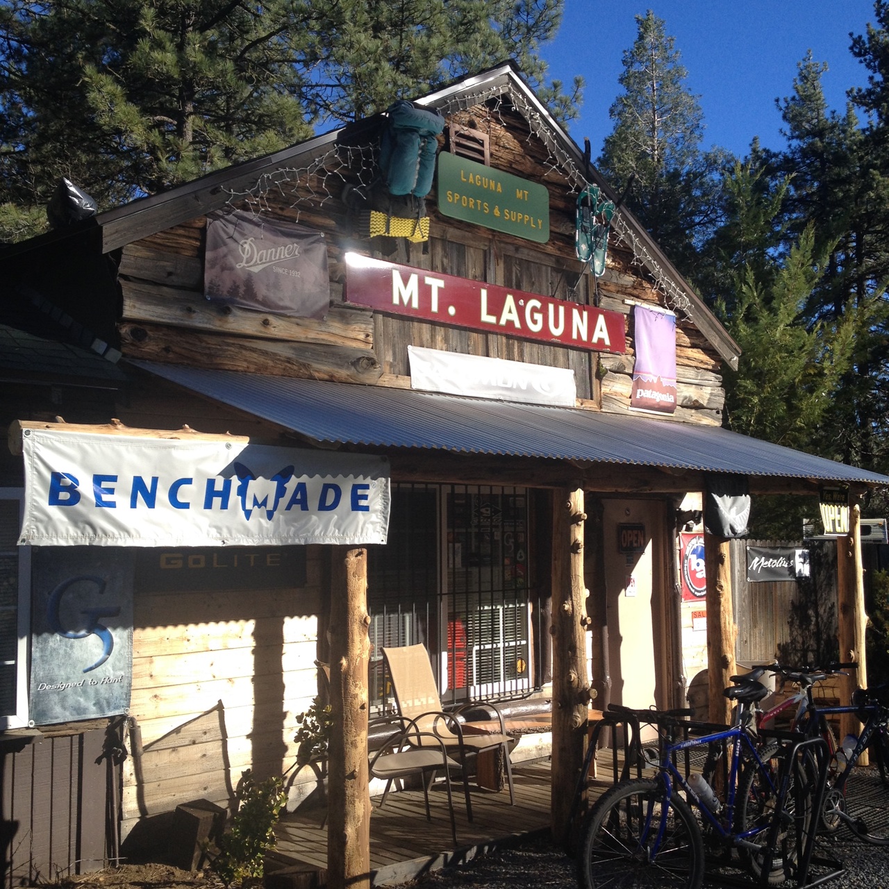
Super’s Store
With how busy we have been lately I’m glad our camping trip went so well. It has been almost two weeks since we left our jobs to pursue this dream. Since the full moon hike and our camping trip we have been packing up our apartment and moving stuff into storage which hasn’t left us with much time to go on a long hike and we’re starting to itch a little. This weekend we have a 16 hour Wilderness Medicine course that is all day Saturday and Sunday which is going to be really fun and informative. Then after next week when we’re out of our apartment; it’s long hikes, backpacking and re-supply shopping!