Kennedy Meadows

Kennedy Meadows is a small town, with a general store where all the hikers hang out. The Kennedy Meadows General Store allows PCT hikers to camp behind the building for free, and caters to the hikers. This is where everyone sends their resupply packages and bear canisters. Lingo and I each had a box of food and a new pair of shoes to pick up. The store has a large deck with lots of tables, chairs, hiker boxes (where hikers leave items they don’t need for other hikers to have,) and a grill where you can order burgers, sandwiches, etc. The staff at the store was very nice! The store lets you open a tab and pay before you leave. This was extremely convenient but also dangerous since most of us ended up racking up a large tab with trips into the store to buy beer, ice cream, burgers from the grill, more beer, and more ice cream. “Just put it on #55!”

Arranging our bear cans

Arranging our bear cans

My shoes

My shoes

Lingo's shoes

Lingo’s shoes

Lingo, Topo, Hog, Rasberry

Lingo, Topo, Hog, Rasberry

IMG_1720

Hiker boxes

Hiker boxes

Hanging around Kennedy Meadows was really fun because we got to hang out with a lot of our friends. We met knew faces, most of which were really nice. A few hikers had a different attitude than the hikers we had been around most of the trip. A hiker stole our friend’s six pack of beer from the cooler one night, and the next day people were jumping the line-up to put their clothes in the dryer. I had heard of some hikers having an “entitled” attitude, but this was one of the first times I really saw it. It was disappointing. Our friend that had their beer stolen was very forgiving and said to me, “It’s okay. This trail’s all about love.” These kind words echoed through my mind the rest of my time spent on trail.

Yummy snacks from a trail angel and her children

Yummy snacks from a trail angel and her children

Line for the grill!

Line for the grill!

There is a trail angel named Tom who lives in Kennedy Meadows. He has his place set up with computers and outlets to charge electronics. He has hiker boxes and even a frisbee golf course. It’s known as “Tom’s Place.”

Tom's Place

Tom’s Place

One of the great things about hanging around the store was watching Rocket Llama open her package of goodies sent from her dad. He sent her a pack of animals, stick on mustaches, pink hair extensions, and lots of other silly things. I really liked playing with the animals. Rocket and I even hid the animals in our friends’ backpacks for them to find later! Sneaky Rocket tricked ME and hid the gorilla in my pack. The gorilla was snuck from pack to pack the rest of the trail and ended up making it to Canada a few weeks ago!

Rocket slightly disgruntled about how many boxes she received.

Rocket slightly disgruntled about how many boxes she received.

Rocket opening her package

Rocket opening her package

Hanging out

Hanging out

Animal's around the "water hole"

Animal’s around the “water hole”

These couple days were spent laughing, eating, and resting our feet. Our German friends Princess and Mr. Sandals had a German film crew meet them for an interview. They had their interview while indulging in much deserved burgers! At night a group of us sat around our tents and confessed our “guilty” items we’ve been hiking with. Items included things like a taser, kite, electric razor, and more. Here we all tried to save weight with light items but then ended up packing extra comfort items that weren’t really a necessity. It was funny!

Princess and Mr. Sandals

Princess and Mr. Sandals

None of us had a bottle opener. I guess an ice axe will do!

None of us had a bottle opener. I guess an ice axe will do!

My burger

My burger

We all practiced arranging our backpacks with our bear cans (which take up basically the whole pack!) Our friend Estero gave us tips and tricks to get everything to fit. He advised us to put our sleeping bag in the bottom of our pack, then our bear can, and stuff all of our clothes around the bear can. I practiced a few times before bed. We all hiked out the next morning as a group.

Estero, Fence, Acorn, and Lingo

Estero, Fence, Acorn, and Lingo

Bring on the Sierra Mountains!

Bring on the Sierra Mountains!

Advertisement

Updates Soon!

Lingo + Sugarpine  in Lake Tahoe

Lingo + Sugarpine in Lake Tahoe

Hey All! We’re back home in San Diego after hiking 1500+ AMAZING miles on the Pacific Crest Trail this year. The trail had taken a physical and mental toll on both of us which made it hard to enjoy the beauty that we were constantly surrounded by on a daily basis. We thought it would be better to rest up and re-energize ourselves and come back in the future to finish the rest of the trail to Canada!

When we stopped blogging a while back we had zero cell service on trail for updates (While some of our friends were able to update on Verizon or AT&T) Thanks for nothing Sprint! Or when we were in town, the WiFi at our hotels was horrible! Sorry for keeping any of you out there hanging on the edge of your seat!

Now that we are home and have some time, we plan to pick up from where we left off with our blog and will be adding even more photos since we have a better connection. If any of you out there have any questions, or want to know anything about trail life, let us know in our comments and we will be happy to answer! Stay Tuned! -Sugarpine & Lingo

IMG_3092

After coming down Muir Pass

After coming down Muir Pass

The flowers were beautiful!

The flowers were beautiful!

Tenaya  Lake, Yosemite National Park

Tenaya Lake, Yosemite National Park

IMG_2989

“D” is for Detour

20140602-234310.jpg

20140602-234231.jpg

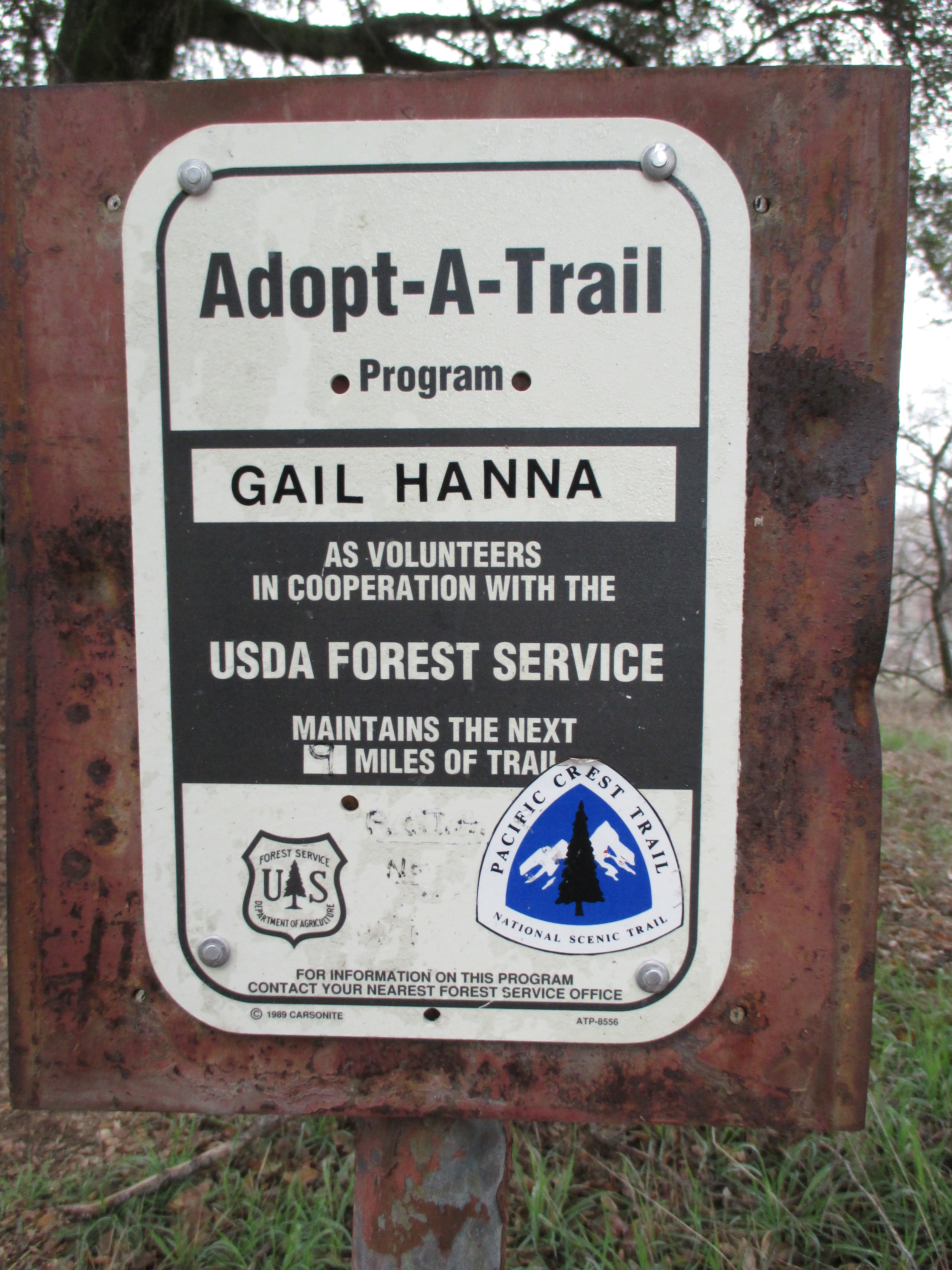
I really wanted to love this section of the trail. All I had been hearing from previous hikers is how it was horrible and they wanted to get done with it as quick as possible. 

“How could someone dislike a whole section of the PCT?!” I asked Lingo our first morning in the section. Well my question was soon answered. Detours, road-walks, long water-less stretches, poodle dog bush, and nights of hiking miles and miles passed what you wanted to hike, in search of finding a spot to camp. I really tried to stay positive during Section D, but it was tough!

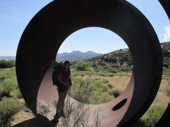
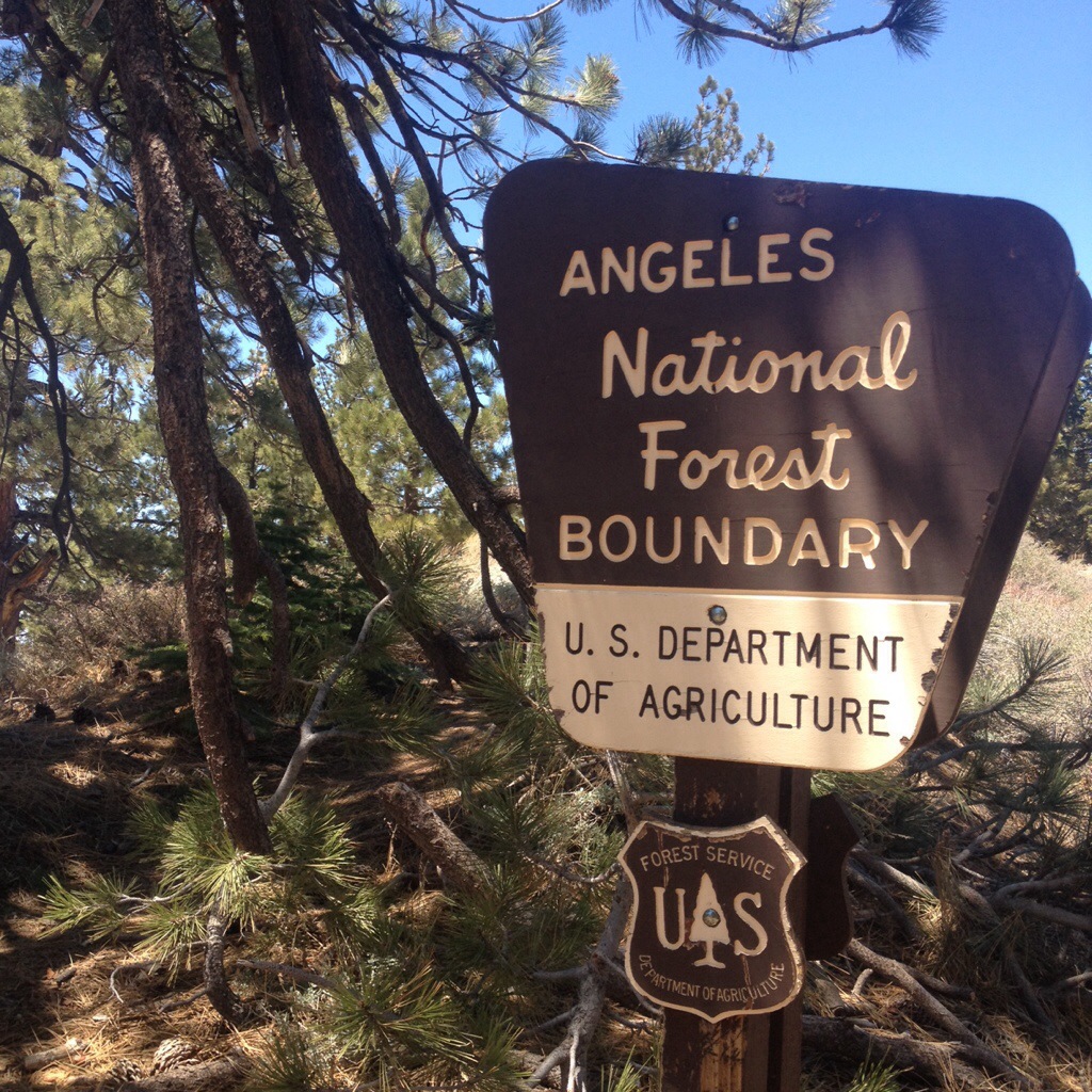
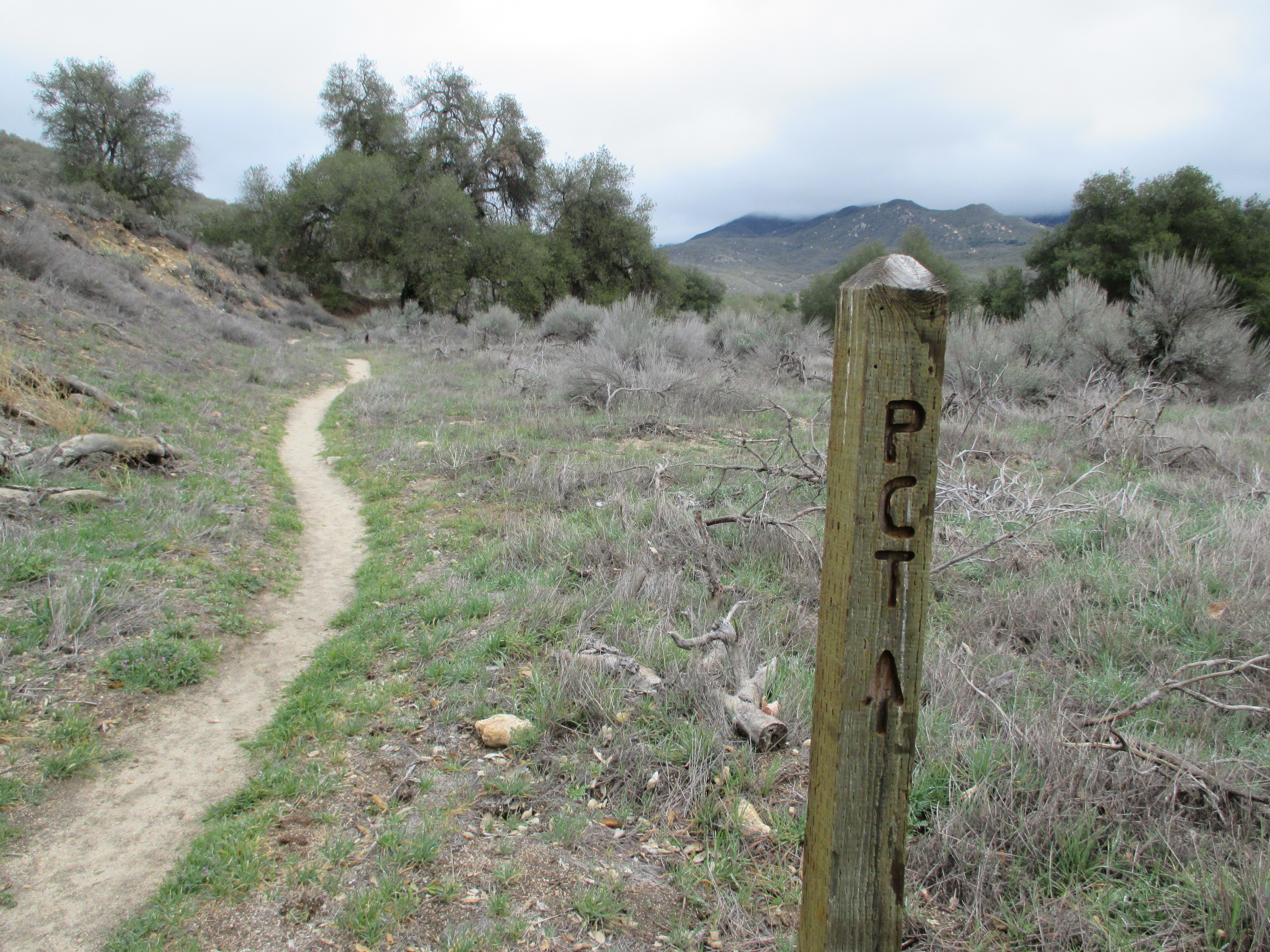
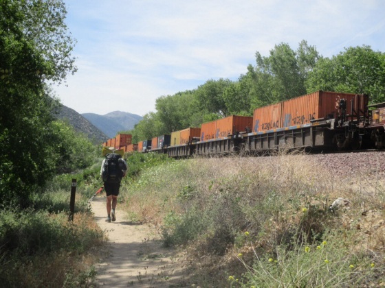
We started Section D at Cajon Pass. We had just left McDonalds around 3pm, and we were feeling pretty great. A handful of our fellow hiker trash friends were getting a hotel that night to “prepare” for the climb out. The way they talked about the climb, and how it was hot, hard, and exposed sounded scary! We just wanted to get it over with so we left in the afternoon. Our belly were nice and full with a days worth of indulgence at Mickey D’s, I had my I Pod blasting a mix of Metallica, Godsmack, and Queensryche, and I powered my way up that mountain! Leaving in the afternoon was a great idea because most of the trail was in the shade. But it was steep, windy, and long. Once we got towards the top there was a jeep road that we were able to take as our first detour around the poisonous poodle dog bush! We got on the jeep road, and the sun was starting to set. We found a perfect spot to camp off the road where we could see the city below. Normally city lights aren’t my cup of tea, but there was something beautiful and comforting about them that night. We slept warm and cozy all night, and woke up to a beautiful sunrise. Day one of Section D was good. 

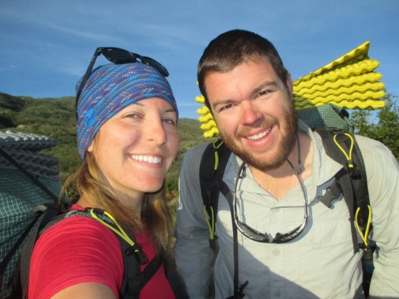
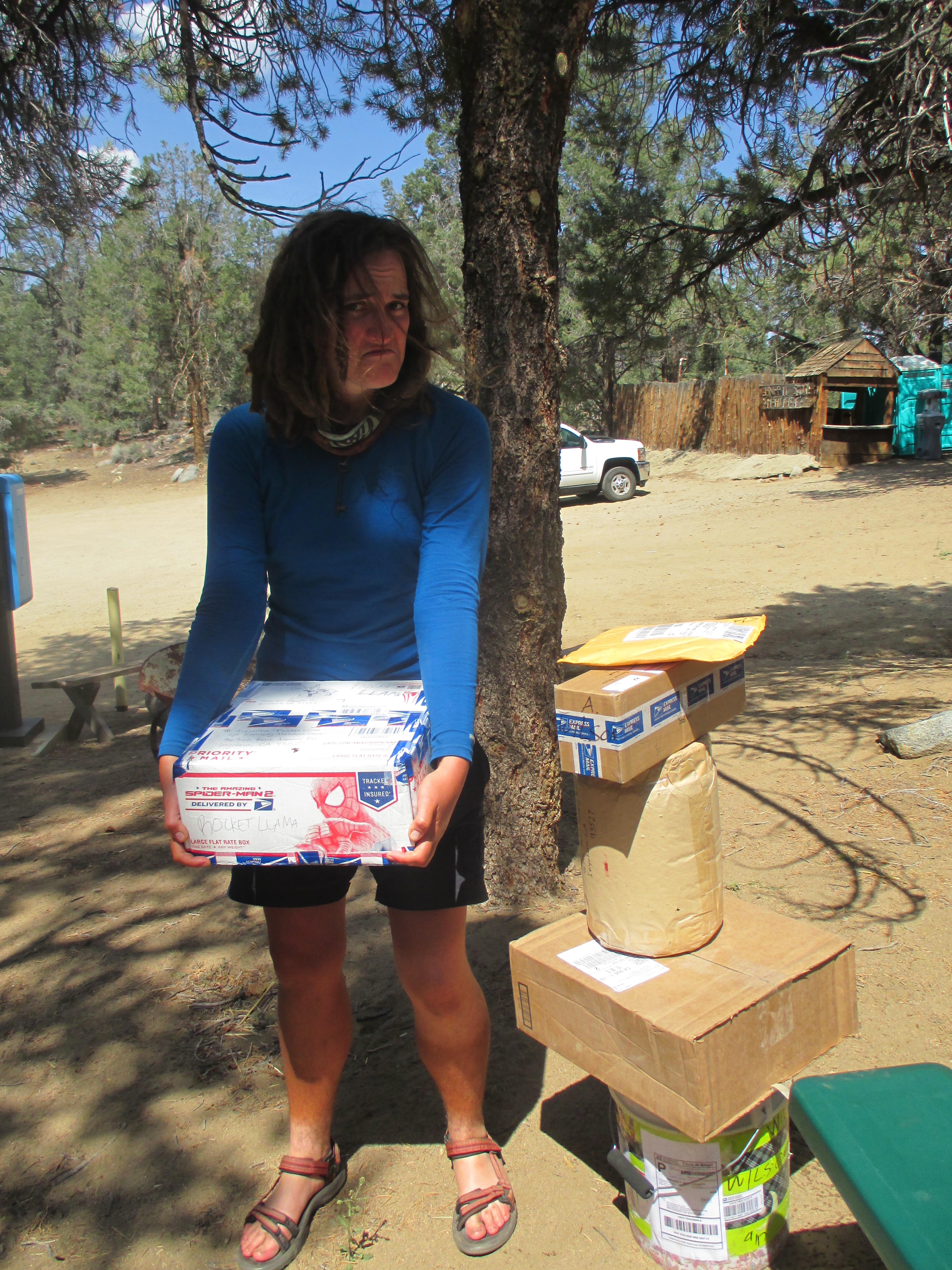
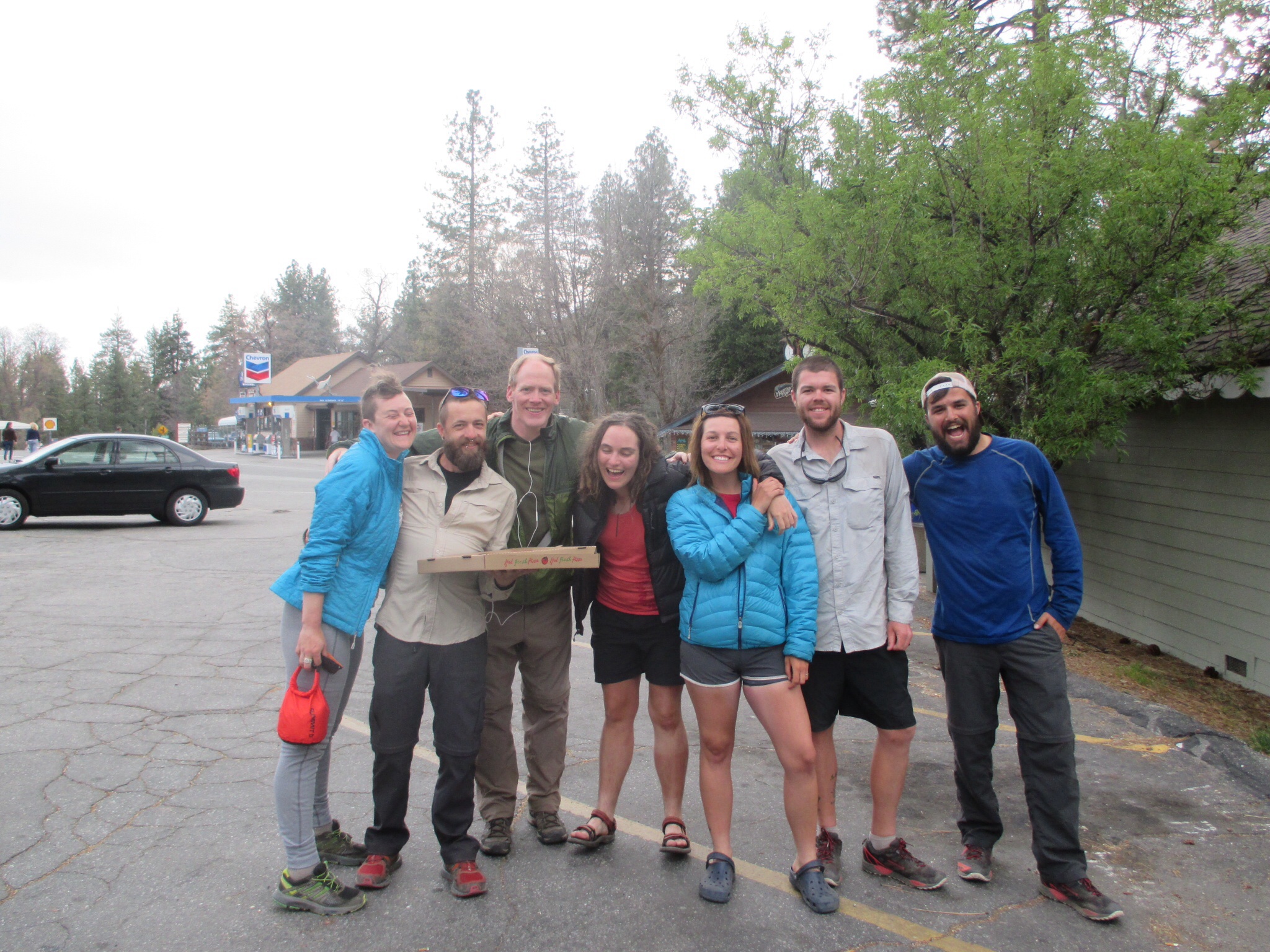
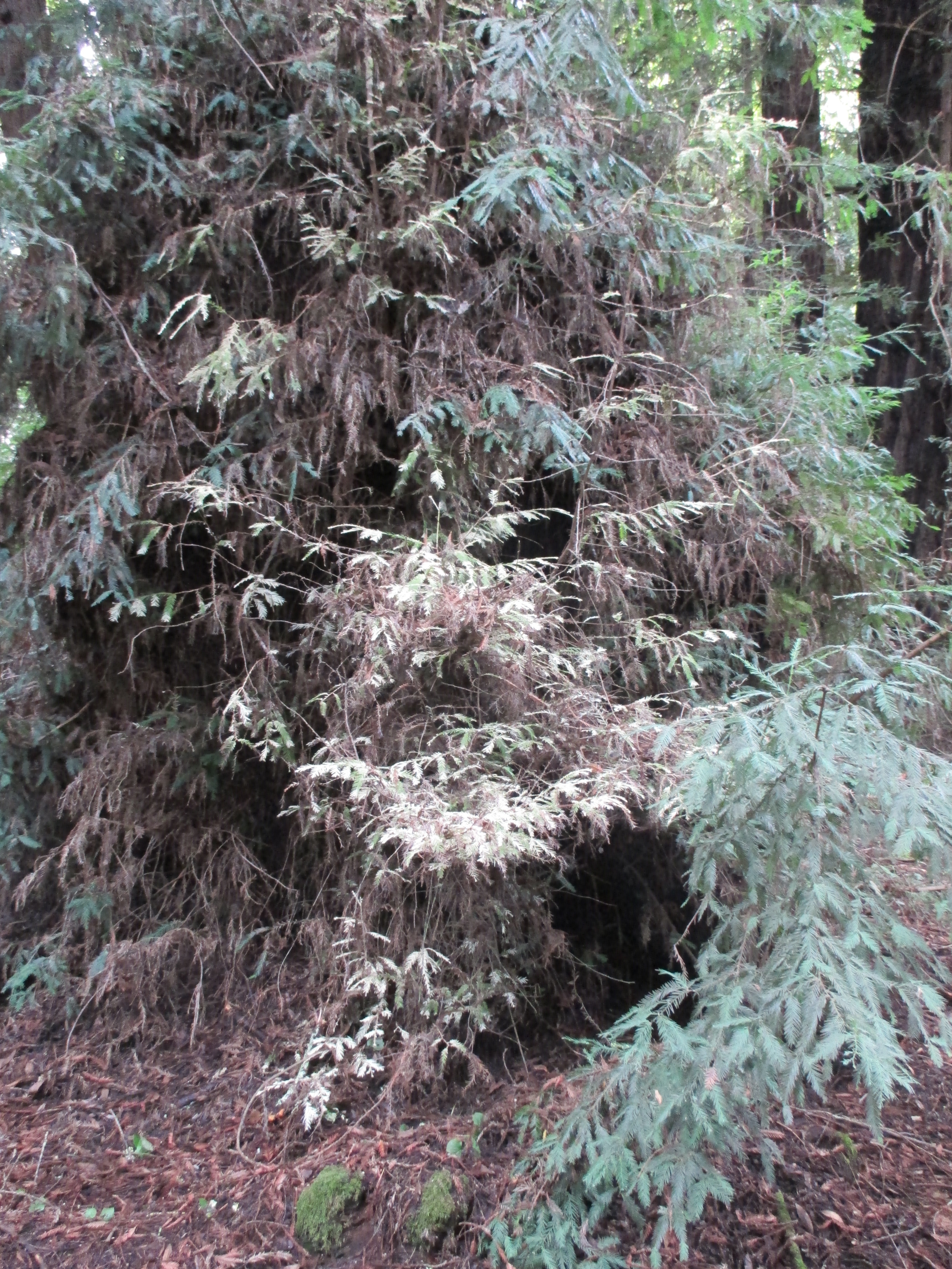
The next morning we covered up, like we had been told to do, so that we wouldn’t touch any of the poodle-dog bush. Poodle dog is a plant that takes over in burn areas. It makes you itchy, and has an outbreak similar to poison oak. I’ve heard nightmares of hikers who have walked through it, or camped in it at night, and had to be hospitalized! So we wanted to be covered up since we heard it was in this section. Well, day two had hardly any poodle dog bush! It did however, happen to be blazing hot starting at 7am, with no wind, and no tree coverage. I had on my long sleeve shirt, and long pants. I felt like there was a rain forest in my pants I was sweating so much! I finally changed after 12 miles or so, when we had hardly seen any of the dreaded plant. We hiked through Mountain High Resort, and it was covered in green grass where the snow usually is. It was really neat walking through it! We hiked 17 miles by 3:30pm, and ended at Highway 2 Angeles Crest. There were some other hikers there on the road waiting for a ride into Wrightwood. They were going to stay at the Pines Motel, and the owner was on his way to pick them up. He zoomed into the parking lot in a little red rice rocket. We asked him if he had any more rooms available. “Only one. Big room. Two beds, two couches. Sleeps 8 people. Usually $120 but for you $99… $89! You can stay for $89!” He left and told us he would be back in 20 minutes with his bigger car. When he came back, he was driving a Dodge conversion van, and it came screeching into the parking lot, bass thumping, Rhianna blasting. We got in the van. The windows had curtains, and tvs on the back of the seats. “Sunflower seeds?” he asked Lingo, and pointed down into the cup holders, both driver and passanger cup holder filled with seeds. “Dill flavor.” he added. The highway might have well not have had a line down the middle, because the van was going all over the place. I felt like I was in a scene of the Hangover, with Chow driving us around. We pulled up to the motel, and it was full of our hiker trash friends! It was so exciting to see faces we hadn’t seen in the last week! We split the room with our friend Glitter (formerly known as Rob,) and Rocket Llama. The funniest part is that since there was only 4 of us splitting a room that sleeps 8, the motel manager and his wife kept asking if we could fit more hikers in our room since all the motel rooms got booked!

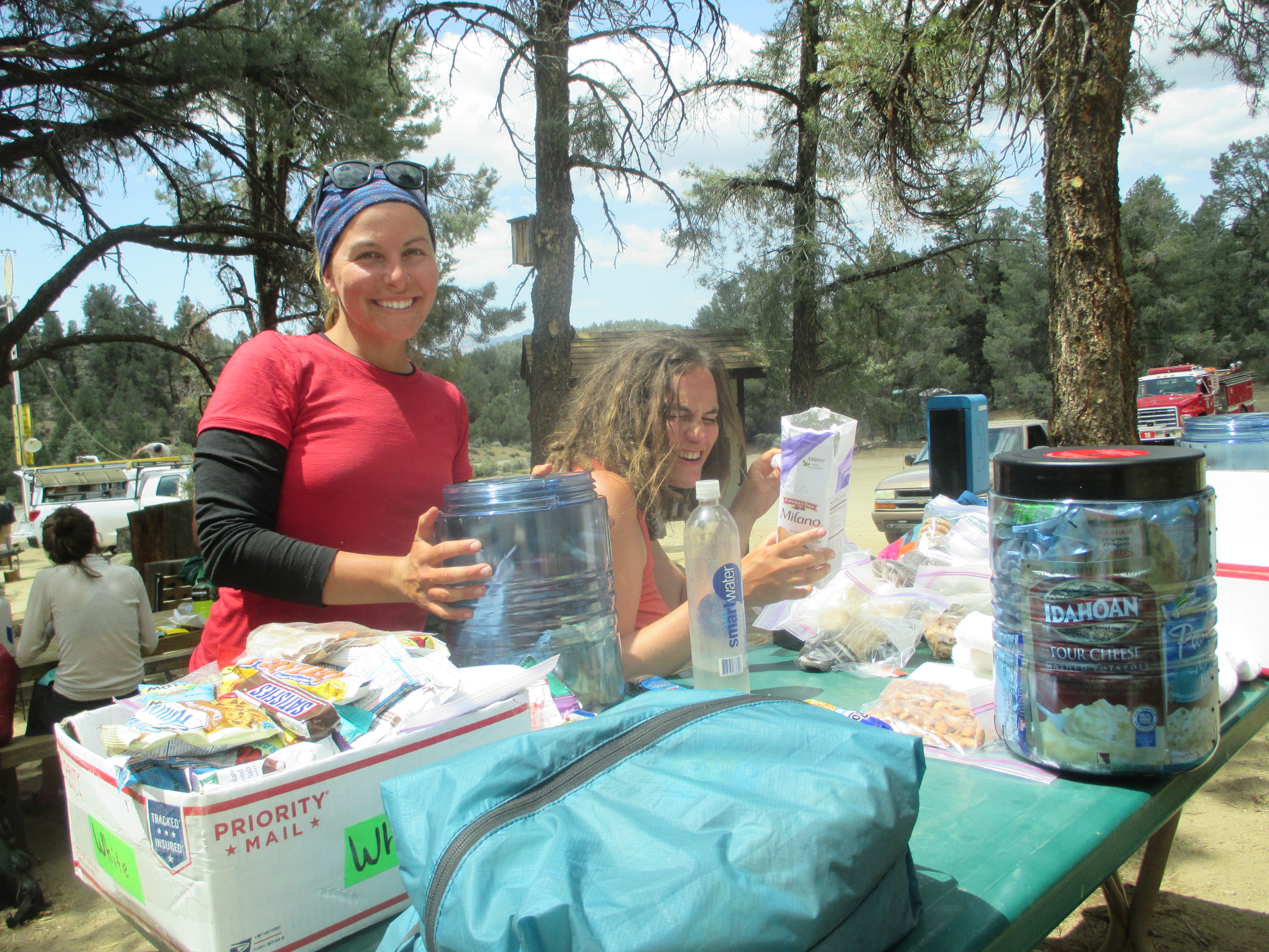
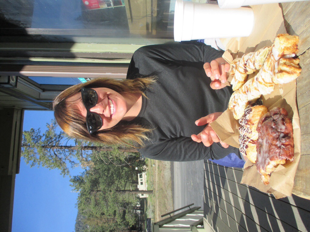
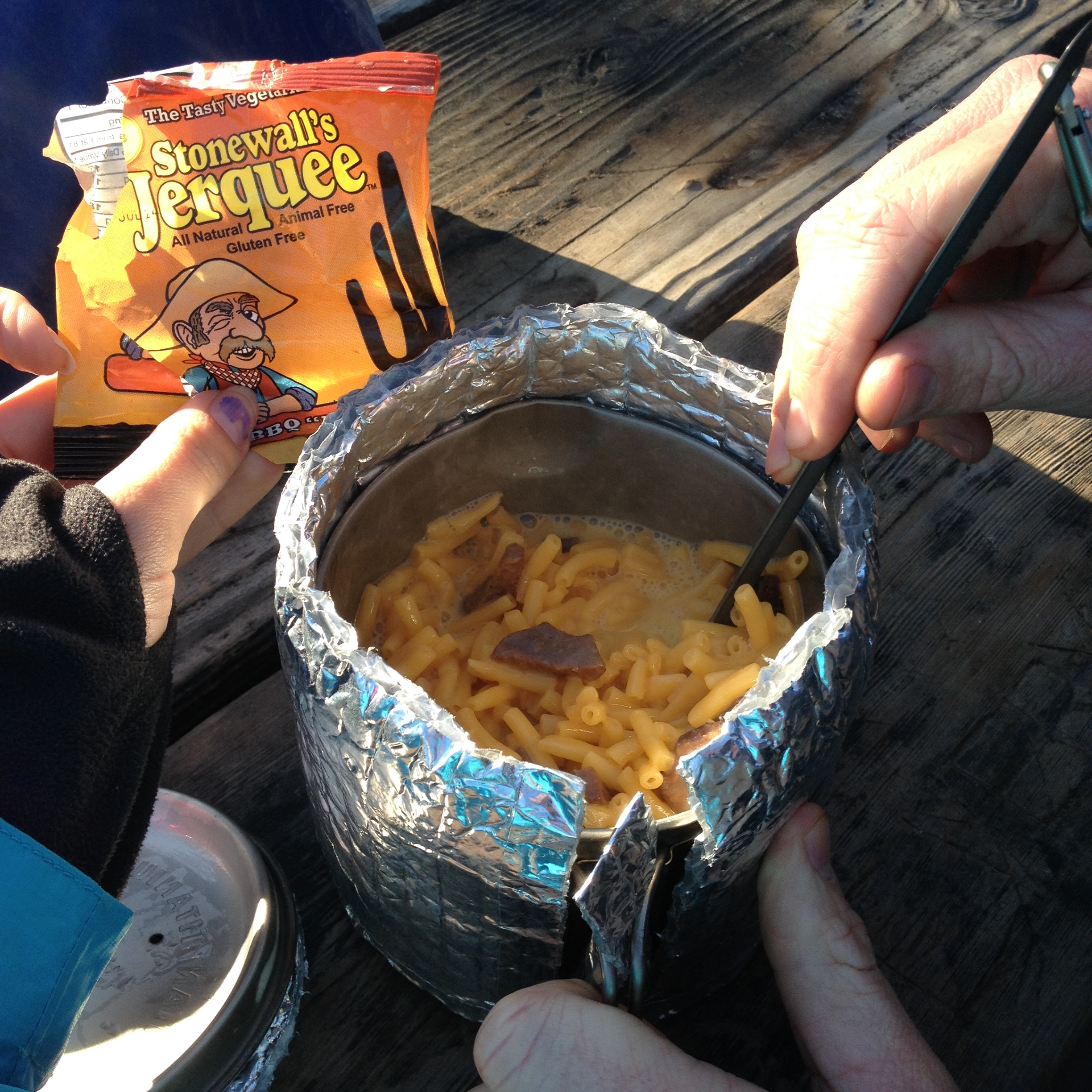
Our plan was to stay that night and do our resupply shopping the next morning, and leave in the afternoon. Leaving town is always hard, and we felt like taking a full zero day would allow us to get too comfortable. We can’t get too comfortable and get sucked in! In the morning we went to an awesome bakery where I bought I cinnamon twist pastry, a fresh from the oven most delicious chocolate croissant of my life, and a peanut butter and chocolate muffin (I packed out the muffin for breakfast the following day.) Lingo also got a cinnamon twist and an apple turnover. The food was seriously amazing.

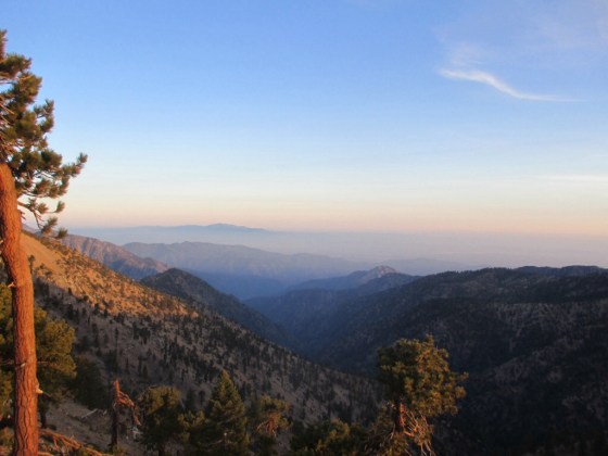
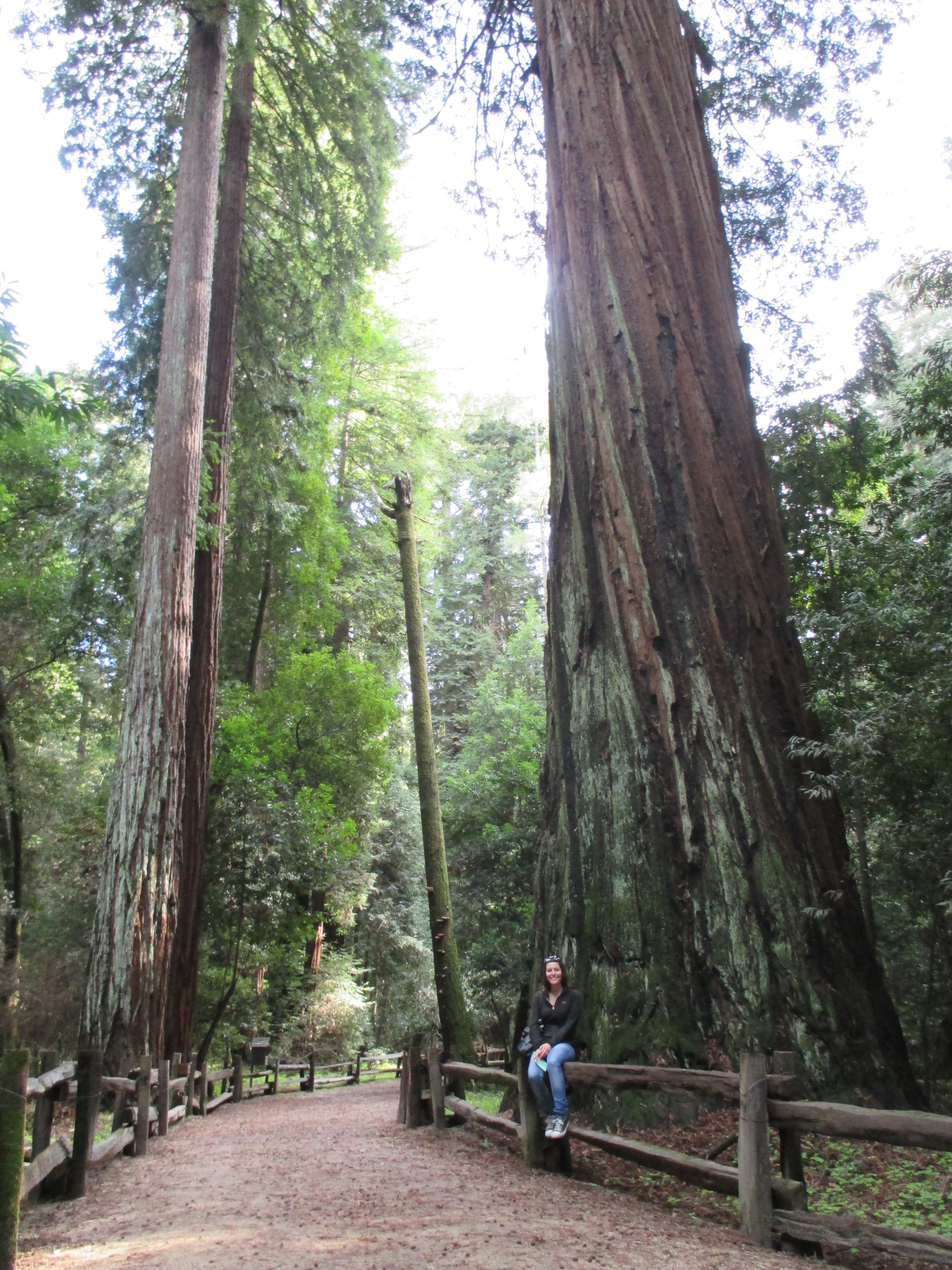
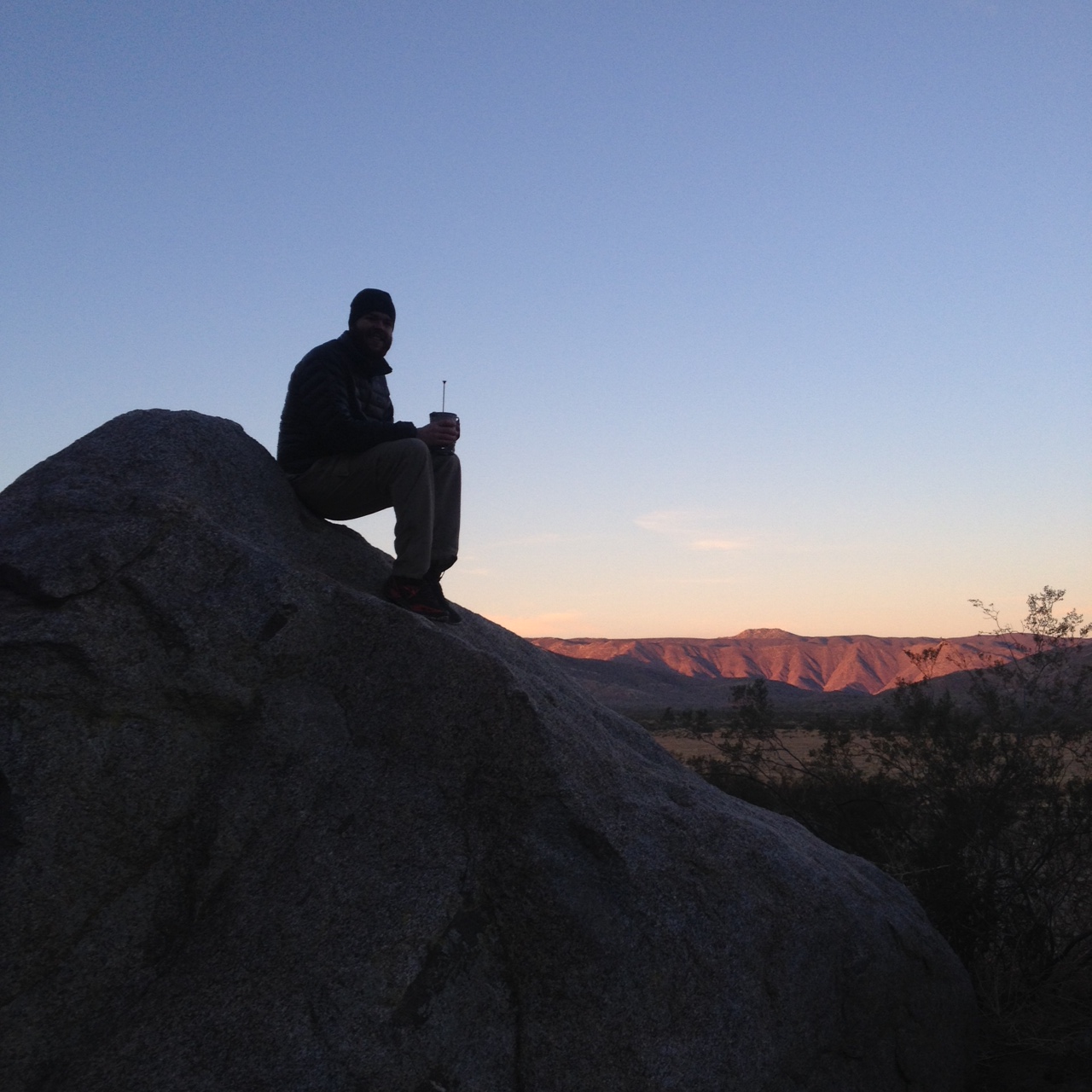
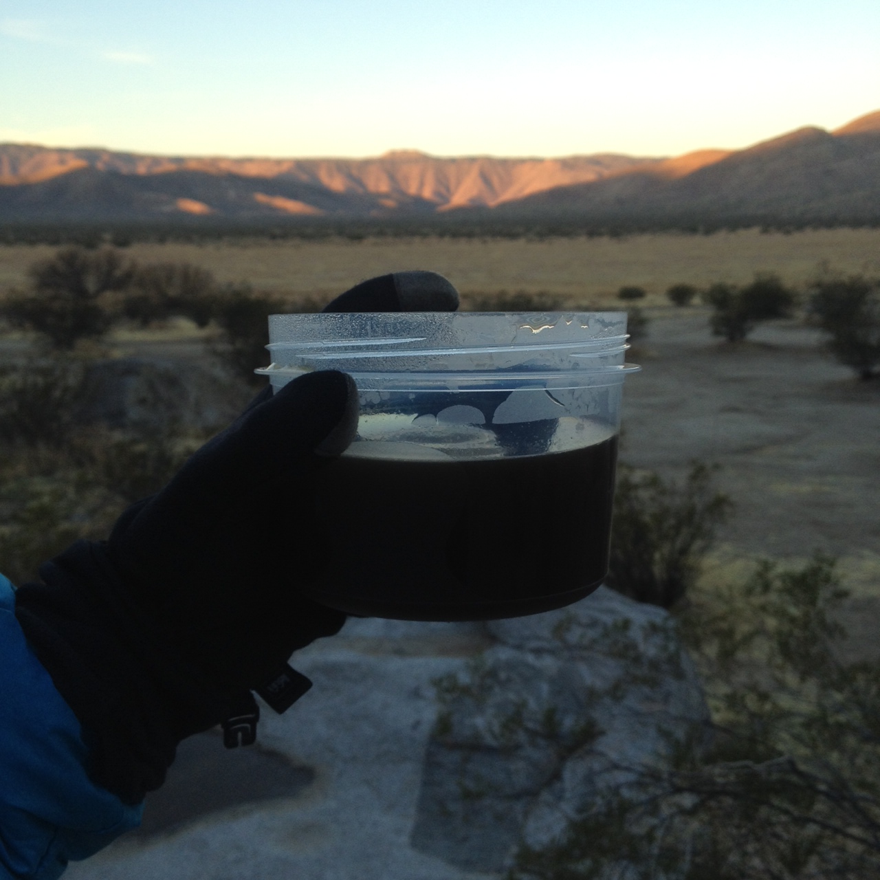
We got a hitch out of Wrightwood back to the trail that afternoon. We hiked up Mount Baden Powell, which was named after the first Boy Scout leader. It was a Saturday evening, and there were quite a few day hikers there. Its a very popular trail, and reminded me of Cowles Mountain, except this trail kicked my butt! It was 4 miles up to the top of constant switchbacks. The locals were friendly though and asked if we were “thru hikers,” which when we told them we were, they thought was “so cool!” The mountain summitted at 9,407 feet, and had snow towards the top. The view, along with the altitude, was breathtaking. It was cold up top, and the sun was going to set soon. We ate dinner at the summit, and pressed on for another mile or two until we found a spot that leveled out enough to camp among some trees. We must have found the only spot.. There was hardly anything since we were on a ridge, and the wind was bone-chilling and strong. Another hiker, Blue Yonder, was also camping there. We all watched the sunset, and went to sleep. It was a cold night.

The next day we hiked only 16 miles to a trail camp. That day was weird. We hiked our normal length of time, but didn’t make our normal amount of progress. We hiked the first road-walk of this section. It was a detour around an endangered toad. Poor toad. We also encountered lots of day hikers over the course of the day. There was even a “meet up” of hikers at one of the trails. There must have been around 60 of them. When we passed them I felt anxious. They were loud, and I heard multiple conversations. They smelled too! The smell was so strong. It smelled like laundry detergent and clean people. I had gotten used to body odor and stentch. When we got to the trail camp we were exhausted. We wanted to get more mileage in, but it was almost 6pm and we were discouraged and tired. There were a few other hikers there, including this cool older hiker named Raspberry. He felt like he had been hiking all day too without going his normal hiking distance. It was nice to know another hiker felt the same way we did. We ate dinner and decided to camp there that night.

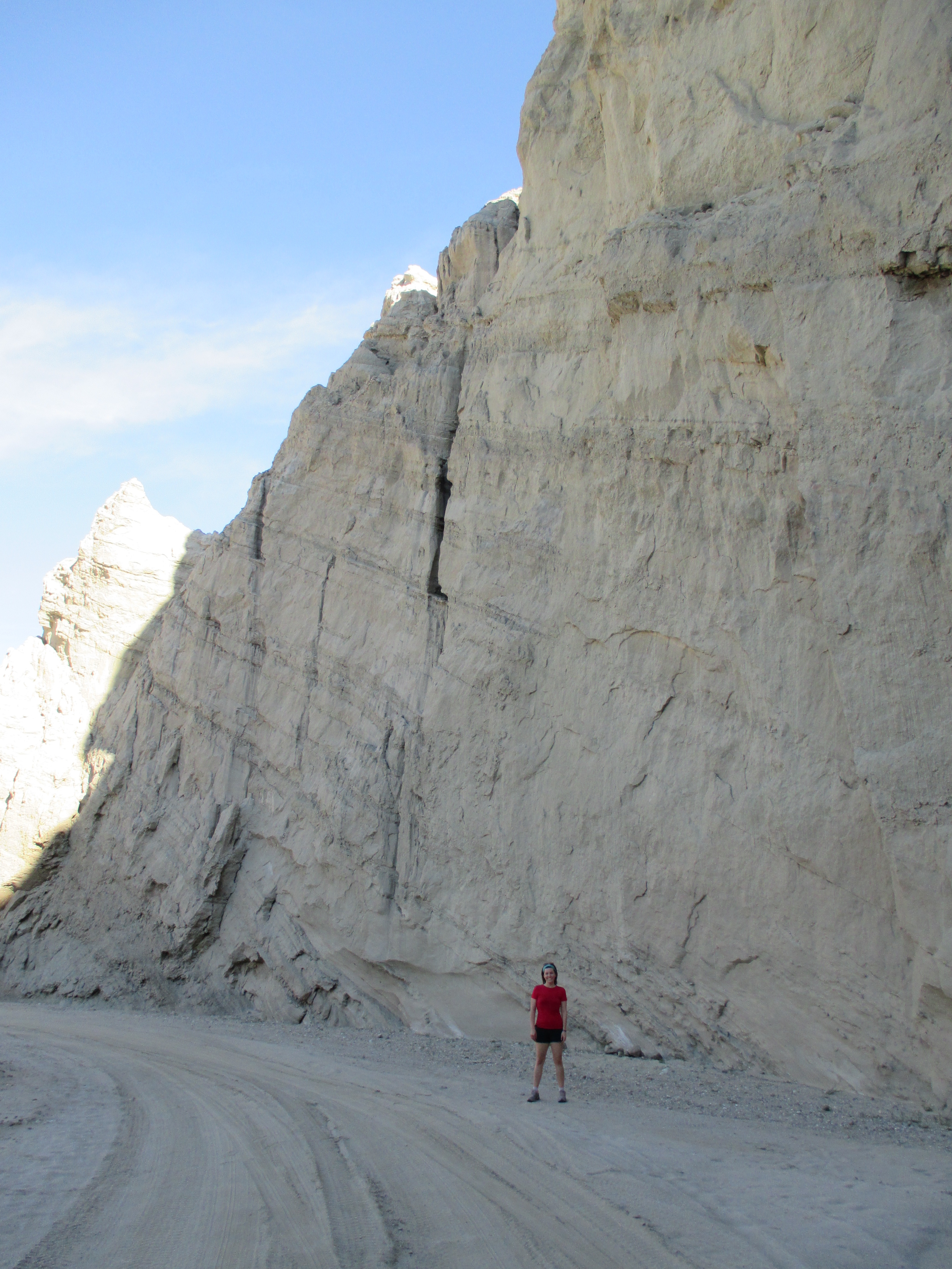
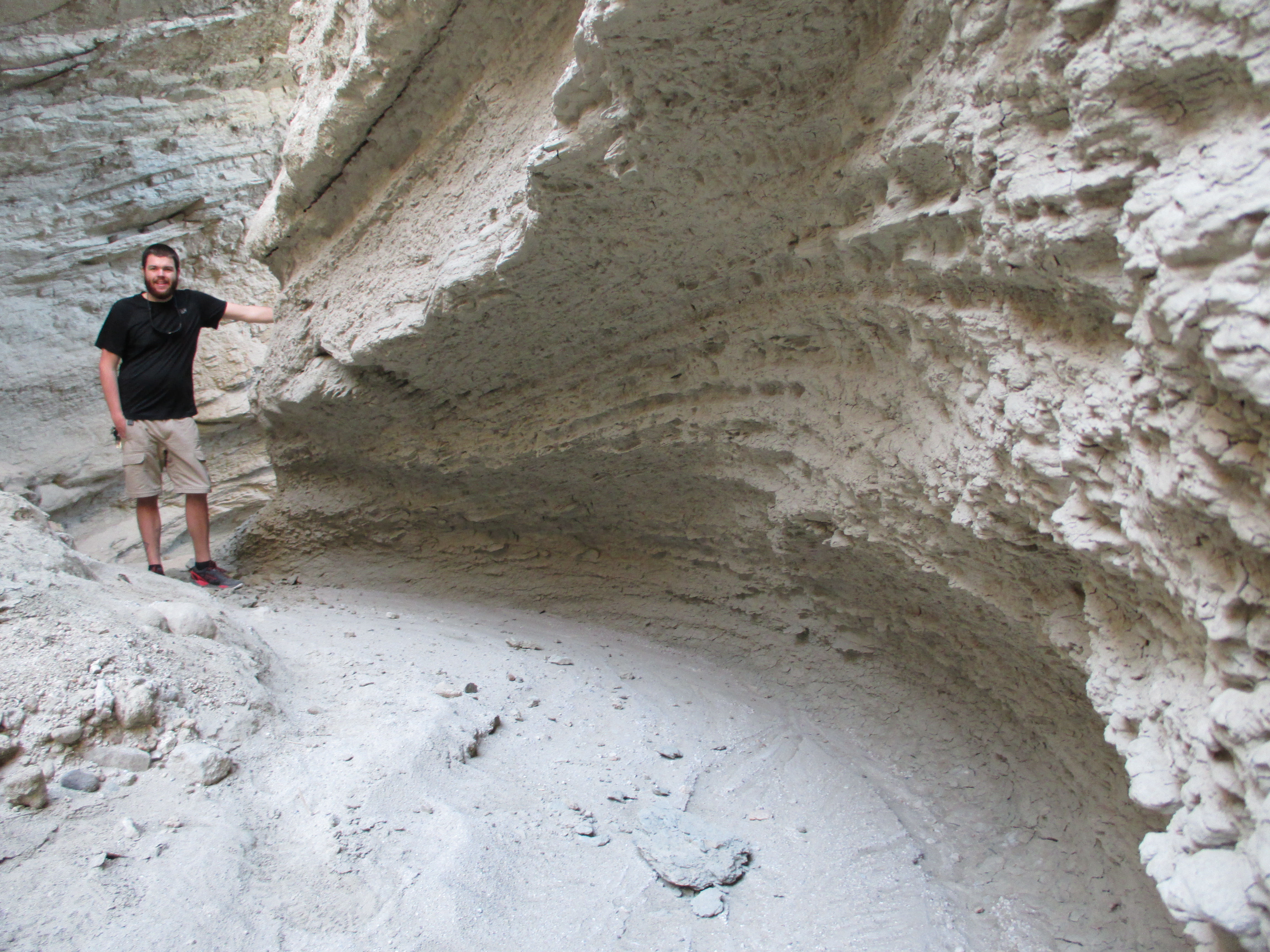
The next day was full of poodle dog bush. It was everywhere. The trail had the bush to the left, to the right, and even in the trail. Big poodle dog, little poodle dog, and incognito poodle dog hiding within other plants! We had to do the “dance” around it the whole day. Our hiking speed plummeted. We had to keep focused with every step we took. It was mentally and emotionally draining. We ended up hiking our longest hike that day though, so go us! We did 23.5 miles, mostly due to looking for a spot to camp, but everything was overgrown with, you guessed it, poodle dog bush! We hiked to the Mill Creek Fire Station since that was the closest water source and we were almost out of water. It was about 7pm. The station was closed, and we decided to just stealth camp there for the night. We walked around the back of the station and a couple hikers were there set up! They said a woman who worked at the station said it would be alright to camp as long as we were gone before the firefighters got there in the morning. It was windy and cold so we set up our tent next to a trailer for the hot shots, and there storage. We tried to be stealthy, but when the sun set a street light came on directly over us. Stealth camp fail!! Rocket Llama showed up and set up next to us. We all slept with our buffs over our eyes to block the light. It was awful, but we were too lazy to move the tent.

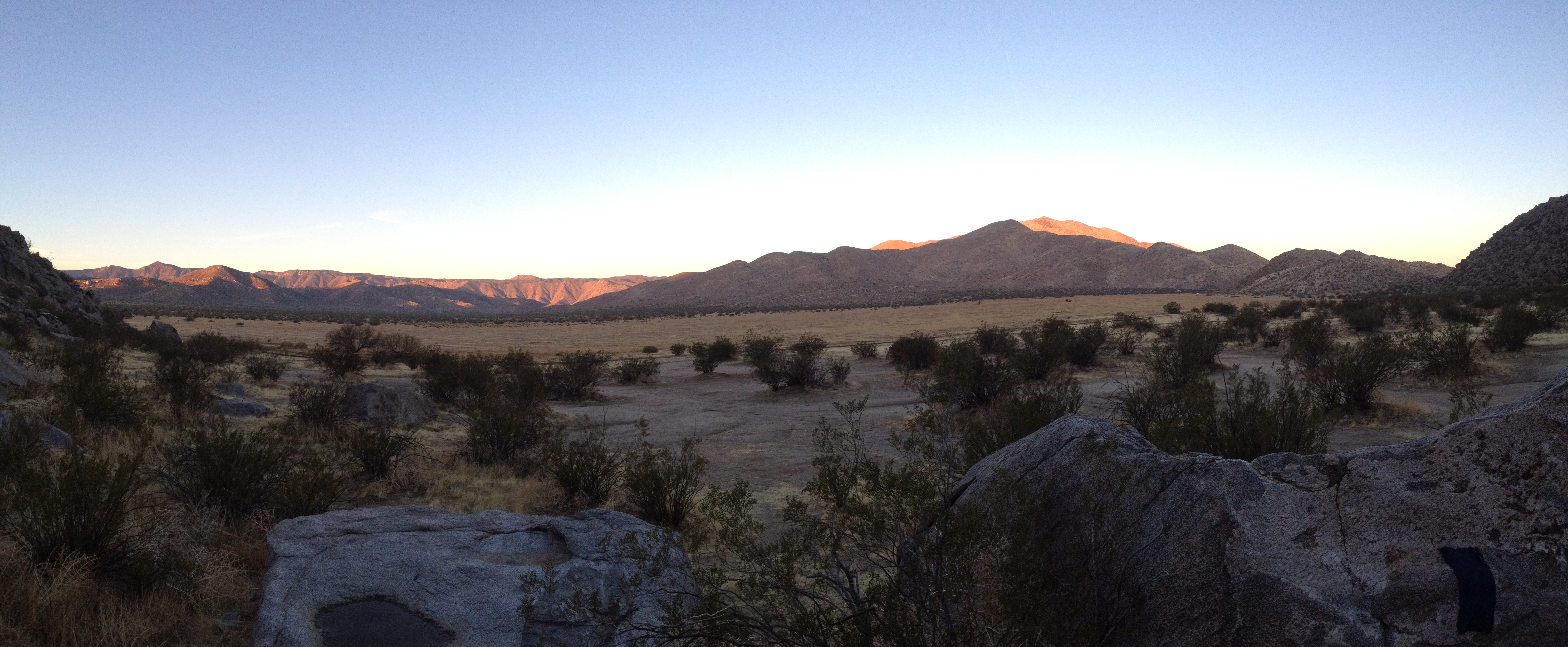
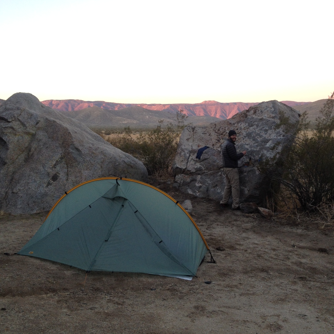
The next day included a road walk up Mount Gleason to avoid the poodle dog bush that took over the forest where the Station Fire came through. It was devastating. We passed the Station Fire memorial, and it was a very beautiful but sad memorial. It got cold that afternoon, and started to sprinkle. The clouds were dark and scary. We hiked another 22 miles that day into the desert towards Agua Dolce. We had trouble finding a place to camp, so we camped on a ridge, that had a little bit of clearing. The sunset was beautiful.

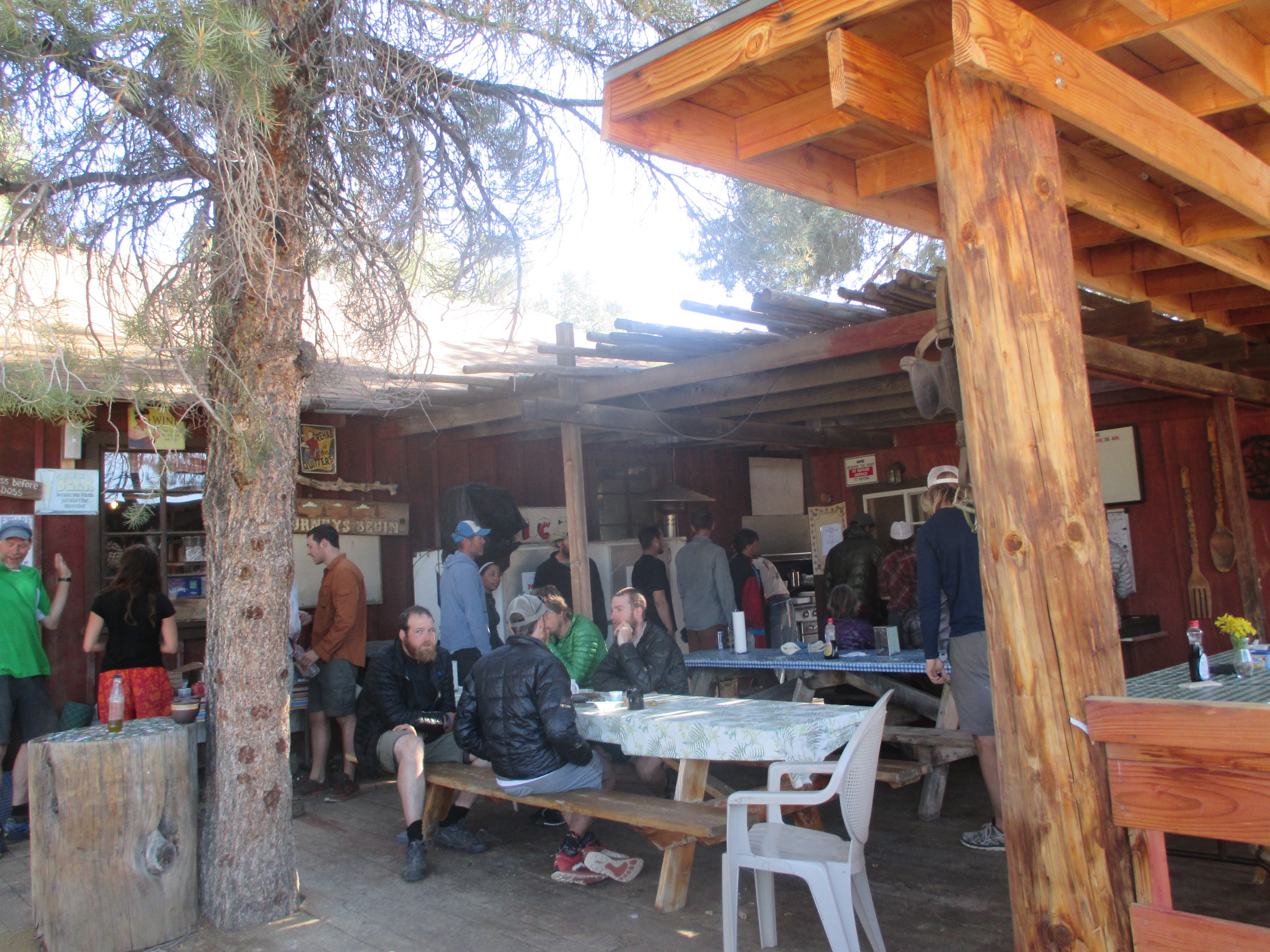
We hiked 7 miles into Agua Dolce the next morning, and ran into Rocket Llama in town. We found some large dandelions and made a wish. She stopped at the cafe for lunch, and we pushed on into Hiker Heaven where we took a nero, and a zero! Finally!

20140602-234551.jpg

20140602-234803.jpg

20140602-234617.jpg

20140602-234414.jpg

20140602-234427.jpg

Idyllwild

We got dropped off at the ranger station in Idyllwild since it was a central location in the tiny little mountain town. When we got to town Rob and Rocket Llama had already gotten a room at the a Silver Pines Lodge and offered us a to stay with them to help lower the cost. We gladly accepted since Mama Lingo wouldn’t be to town till the next day to spoil us for a double zero.

On the way over to the hotel we ran into Troll and Medicine Man and we were very excited to see them. They informed is that Medicine would be taking on the 5lb Burger challenge at the Lumber Mill, so we agreed to meet up later for some cheap hiker entertainment.

Medicine Man doing the 5lb burger challange

Medicine Man doing the 5lb burger challange

Rocket Llama and Rob

Rocket Llama and Rob

We spent the day wandering around this very hiker friendly town, eating, drinking coffee and running into other people we have seen on trail. The pizza place gave a thru hiker discount which was really nice.

Some hiker trash

Some hiker trash

Rocket Llama, Micaela aka Teddy Rose, and Sugarpine

Rocket Llama, Micaela aka Teddy Rose, and Sugarpine

When we went to witness Medicine Man take on the challenge of the 5lb burger, there was about a dozen other hikers that turned out as well. Some of us ordered food while others enjoyed a beer or two. It provided cheap entertainment while he was timed to finish his burger. The only thing left of the burger was the large bun with avocado spread. Since he didn’t finish, some of us chipped in a little to help him pay off his $45 burger debt.
Mama Lingo came to town the day after and we checked into our our room at the Idyllwild inn. We spent a double zero resting, enjoying our cabin, went to the pizza place again and even cooked a meal the second night back at the cabin. She brought us Easter basket goodies, and Epsom salts for our foot soaks! We spent the day relaxing in front of the fireplace and catching up with Mama Lingo about our adventures. Another friendly face we ran into was my friend Brando’s mom! It was so nice to see someone we knew in a trail town.

Nothing better than San Diego beer!

Nothing better than San Diego beer!

Overall our first trail town experience was spectacular. The town was so friendly, we saw people we hadn’t seen in a while, we left rested and got totally spoiled by Mama Lingo-Trail Wizard extraordinaire!

Santa Cruz Mountains

IMG_0167

Chelsea at Henry Cowell Redwoods

Hello Glorious Redwoods! It has been too long! I can’t believe it’s been almost 2 years since I stayed at my Dad’s cabin in the Santa Cruz Mountains. It doesn’t feel like it’s been that long.. oh well. Chas and I really wanted to visit my family before we started our trip, so we made it a point to do so. It feels like a vacation within a vacation. Lots of hiking, camping, and family time!

Henry Cowell Redwoods

Henry Cowell Redwoods State Park

Henry Cowell Redwoods State Park

Chas and I took my younger brother to do a fun nature loop at Henry Cowell Redwoods. I’ve done this nature loop in the past, and I enjoyed it just as much now as I did then. It’s such a beautiful park. I love seeing the redwood trees, especially the great big ones! One of the trees is over 270 feet tall, and 17 feet across it’s trunk! Looking for banana slugs within the sorrel ( the clover-looking plant around redwood trees) is always fun too. There is even an albino redwood tree! The albino tree lacks chlorophyl, which plants need to stay alive, but also gives the green-color to plants. This albino tree has attached it to another nearby tree and takes the nearby tree’s chlorophyl, allowing the albino tree to live.

IMG_0160

Huge tree

IMG_0173

Albino redwood

After the nature loop, we went over to Saturn Cafe in Santa Cruz for a delicious vegan “milkshake.” I got a chocolate shake, with cookie crumbs mixed in. The boys didn’t order a shake, but looked jealous when mine arrived. So I offered to share 🙂 Yum! Henry Cowell Redwoods has another part of the park, which we hiked a few days later. This was called the Fall Creek Unit, and is at the northern section. We made a loop of about 5 miles. Along the hike we climbed the mountain ridge, explored old lime kilns, and traveled along a river. Hiking here in the redwood forest was a nice change from the San Diego desert climate.

IMG_0247

Pretty sorrel everywhere

IMG_0239

Chas and Buddy Banana Slug

IMG_0228

The old lime kilns

Castle Rock State Park Overnight

Ready for our overnight!

Ready for our overnight!

Can't keep Chas from climbing rocks

Can’t keep Chas from climbing rocks

IMG_0301

Chelsea admiring all the trees

We really wanted to do a backpacking trip in the mountains, but all the backpacker camps in Big Basin were closed for the season. Only one was open, and it was the backpacker camp at Castle Rock State Park. The hike in was only a few miles, but we had the whole camp to ourselves! It was a little scary knowing there were no park rangers or other hikers. It was just Chas and I, along with all the signs warning us about predatory animals. All the sites were deep in the dense trees, and dark by early afternoon. We finally found a spot close to the edge of the mountain, where the trees opened up and the ground was almost sandy. The sun was shining, and gave us warmth even though it was cold and windy out. We knew this spot would be perfect for us! We had found a pile of firewood previous campers left on the other side of the campground, so we returned to gather it. We were stoked we could have a nice warm campfire that night.  We made dinner after setting up our tent. We tested the food we will be eating along the PCT. We made Kraft Macaroni & Cheese, and cut up some vegan “jerquee” to add. It had been over 15 years since I ate Kraft Mac & Cheese, and it was better than I remembered.

Mmm mac & cheese with "jerky"

Mmm mac & cheese with “jerquee”

We altered the recipe a little bit to practice for our big trip. This is how we made it:

  • We boiled 1 1/2 cups of water on the Jetboil. (By using less water there is no need to drain or simmer.)
  • Turn off heat.
  • Add pasta, some olive oil, “jerquee”, and cheese packet (no milk or dairy necessary)
  • Turn stove back on. Heat to a boil. Then turn off heat.
  • Stir. Put on lid, and place in pot cozy for 10 minutes. (This saves fuel)
  • Stir it once more.
  • Let sit another 10 minute.
  • Eat it!

After dinner we watched the sunset, and got into our tent. The wind was roaring by now, but our tent held up like a champ! We were scared of moisture buildup inside the tent like it did in the desert, so this time we made sure the tent had ventilation. We laid in our bags, trying to sleep. But the wind was so loud we couldn’t right away. The wind wasn’t the only problem though. We woke up the next morning with sand in our tent, our eyes, and mouth. But hey, there was no condensation this time! Haha. Practice will make perfect.. I hope!

Us with our tent

Us with our tent

Chas making coffee

Chas making coffee

We hiked back out to the car, and indulged in beer and veggie burgers topped with avocado fries at Boulder Creek Brewery. It was a great way to end our little overnight trip- dirty, buzzed, and a full belly!

Yummm

Yummm

We had a great time up in Santa Cruz. Lots of hiking, and I got to hang out with my family almost every day of the week. We made homemade pizzas, barbecued, hung out by the pool, and enjoyed each other’s company. I’m really glad I got to spend time with my family and friends before our trip. I’m looking forward to having them meet us along the way!

Santa Cruz

Santa Cruz

Caves, Creeks, and Camping

What we’ve been up to lately:

Desert sunrise

Desert sunrise from our tent 🙂

Wilderness First Aid

The last weekend of February we spent all day Saturday and Sunday taking a Wilderness First Aid class hosted by the NOLS Wilderness Medicine Institute at the Encinitas REI. This was a 16 hour course that got us both certifications in WFA and can hopefully help us out on the trail if anything medically unforeseen may happen. In the class we learned:

  • Patient Assessment System
  • Evacuation Plans and Emergency Procedures
  • Spinal Cord Injuries
  • Shock
  • Head Injuries
  • Wilderness Wound Management
  • Athletic Injuries
  • Fracture Management
  • Dislocations
  • Cold Injuries
  • Heat Illness
  • Altitude Illness
  • Lightning
  • The Medical Patient
  • Anaphylaxis
  • Wilderness First Aid Kits
Taping up a sprained ankle

Taping up a sprained ankle

The class itself was fun and informative. We’d like to take the next level in the future, which certifies you to be a Wilderness First Responder and goes into more detail with each topic.

Agua Caliente Creek

The first weekend out of our apartment felt like the perfect opportunity to go on a hike along the PCT. Agua Caliente Creek is in Warner Springs. It is close enough to where we’re staying, but just far enough to feel like you’re away from it all. It was a really mellow part of the trail that went along a creek. It was a drizzly day, right after a little storm started to clear up. We saw a NOBO (Northbound) hiker today. We also saw a wide variety of PCT signs along this hike, so we thought it would be fun to share them with you!

All color, no black

All color, no black

All black, no color

All black, no color

Super huge sign

Super huge sign

This one's just a sticker

This one’s just a sticker

Super faded sign

Super faded sign

Wooden sign

Wooden sign

Day in the Desert

We love the desert, and try to go there often. Knowing that we’re leaving town, we’ve been trying to do all the things we’ve been wanting to. We accomplished three of those in one trip out to the desert!

Anza Borrego

Anza Borrego

1) Mud caves: We’ve been wanting to check these out for quite some time now. The caves are found along the walls of the wash canyon. The mud caves in our desert are one of the most extensive mud cave systems in the world. There are close to 22 known caves, and 9 slot canyons.

IMG_0090

Informational sign

“The mud caves are formed by fluvial erosion caused during periods of heavy rainfall.  When this infrequent rainfall occurs, it cuts channels into the mud hills that are commonly found in the Pseudokarst topography of this arid region.  The channels cause erosion and form canyons with unstable and undercut walls.  As the channels deepen, the walls cave in.  Because of the cohesive consistency of the mud in this particular area and its ability to swell to several times its original dry volume, it adheres to itself and to the canyon walls, creating natural bridges and, sometimes caves, as it dries,” – desertusa.com

IMG_0093

Chelsea exploring

IMG_0098

Chas exploring

2) Camping in Blair Valley:

After exploring the mud caves the sun began to quickly set over the mountains to the west so we decided we needed to find a spot to set up camp for the night. We came prepared to hike into camp somewhere if we had more time but the sun was setting too fast. We drove back up the road to a place called Blair Valley that has primitive camping that is totally free! We found a spot that was hugged up against a rocky mountain side and behind a large rock for some wind protection and we could also sit on top of it to watch the stars that night. Once we got our tent set up we cooked up some Kraft Mac & Cheese on our Jetboil and substituted olive oil for the dairy. This was a chance for us to try cooking up a meal that will be pretty common while on the PCT. After the sun set the temperature immediately started to drop, so we cooked up some hot cocoa, looked up at the stars and watched all the satellites whizz by overhead. We were in our cozy sleeping bags in our tent by 8pm! Going to bed early meant we were able to get up at 5:30 to make some coffee and watch the sun rise. It was a really cold morning and some moisture had built up on the outside of our tent and we even had some condensation build up on the inside, we had no idea it could get so wet out in the desert! Camp was broken down by 9am and we were on our way to do some more exploring that day.

photo 1

Chas making our morning coffee

photo 2

Chas with our french press, watching the sunrise

photo 3

Mmm coffee!

photo 5

Our camp kitchen

3) Pictographs: In Blair Valley there is a trail that leads you to ancient Indian pictographs. We attempted to hike the trail late last summer, but there were bees everywhere! This time the bees weren’t a problem. The trail is only about 1 mile each direction, and is an out-and-back. Over 50 Native American rock art sites have been found in Anza-Borrego. The ones along this trail have little-known meaning, though some people think it represents adolescent rites, solstice rituals, and vision quests. Pretty neat!

Chelsea with the pictographs

Chelsea with the pictographs

So that is what we’ve been up to the last couple weeks! Stay tuned for another update in the next few days.